What is recorded here
Carrickevy Lough still reflects the sky beneath the drumlin where the fort stands, but no entrance remains visible on the earth bank. A circular grass place, forty-seven metres across, holds the shape of a house or stronghold though fields and forgetting have worn away its door. Perhaps it was a family home, a seasonal camp or a boundary marker for a forgotten county road. The lough keeps the answer fluid, changing the shape of the story whenever the wind moves across the water.
Situated on the S-facing slope of a drumlin overlooking Carrickevy Lough (max. dims c. 450m NE-SW; c. 240m NW-SE), which is c. 190m to the S. This is a circular grass-covered area (int. diam. 47m E-W; 44m N-S) defined by an earthen bank (Wth 4.4m; int. H 0.25m; ext. H 1.2m) with some bushes NE-S-SW which is reduced to a scarp (H c. 1m) N of the NE-SW field bank which bisects the monument. An outer fosse (Wth 2.2m; D 0.35m) survives only SE of the field bank, but the original entrance is not identified. Archaeological testing (04E0303) c. 30m to the W at the closest point produced no related material (Read 2006), and a fallow area (Wth c. 20m) is preserved around the monument SW-W-NE.
The above description is derived from 'The Archaeological Inventory of County Leitrim' compiled by Michael J. Moore (Dublin: Stationery Office, 2003). In certain instances the entries have been revised and updated in the light of recent research.
Date of upload: 23 September 2008
The monument record does not grant public access. Check the route and ask the landowner before entering private land.
- What survives
- Recorded monument
Places near here
 Tobereendoney WellHoly well · 339 yd
 Enclosure in CarrickevyEnclosure · 561 yd
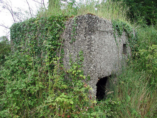 pill boxpill box · 650 yd
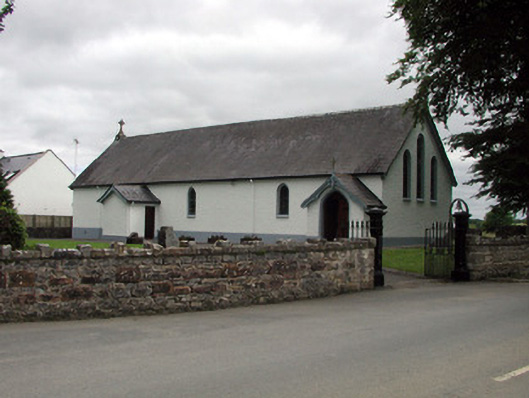 Saint Joseph's Catholic Churchchurch/chapel · 690 yd
 Sit of Breifny CastleCastle, tower house · 842 yd
 Shannon-Erne WaterwayVisitor information · 851 yd
 PortCastle, unclassified · 1167 yd
 Battle of Áth an Chipbattle · 1.1 mi
 Leabaidh DermotCave · 1.8 mi
 InishnagonIsland · 2.0 mi
 Sheemore Ambush MemorialMonument · 2.1 mi
 Moon RiverHeritage attraction · 3.2 mi