What is recorded here
No visible fort remains at Tullig, but a hidden ring of earth and memory still curves through the land. The quarter-moon shape and buried passage suggest people once lived there, marked the boundary and forgot the name. The fairies may have taken the story back, leaving only a slight rise in the grass and a room in the mind where the forgotten keep their furniture.
In pasture on NW-facing slope. Shown on 1842 and 1904 OS 6-inch maps as circle of trees on front lawn of Tullig House. Raised subcircular area (diam. 36m) enclosed by scarp (H 1.2m) SW->E; low, broad earthen bank (int. H 0.7m;ext. H 0.5m) E->SW. Outside scarp on W side is slightly raised, quarter-moon-shaped area, adjoining and concave with site. According to Broker (1937, 50), 'fort in Lawn [Tullig House], three quarter acre, double fence' on Michael Riordan's land. Possible Man-made underground passage (9119) in interior. Entire site planted with trees.
The above description is derived from the published 'Archaeological Inventory of County Cork. Volume 3: Mid Cork' (Dublin: Stationery Office, 1997). In certain instances the entries have been revised and updated in the light of recent research.
Date of upload/revision: 14 January 2009
The monument record does not grant public access. Check the route and ask the landowner before entering private land.
- What survives
- Recorded monument
Places near here
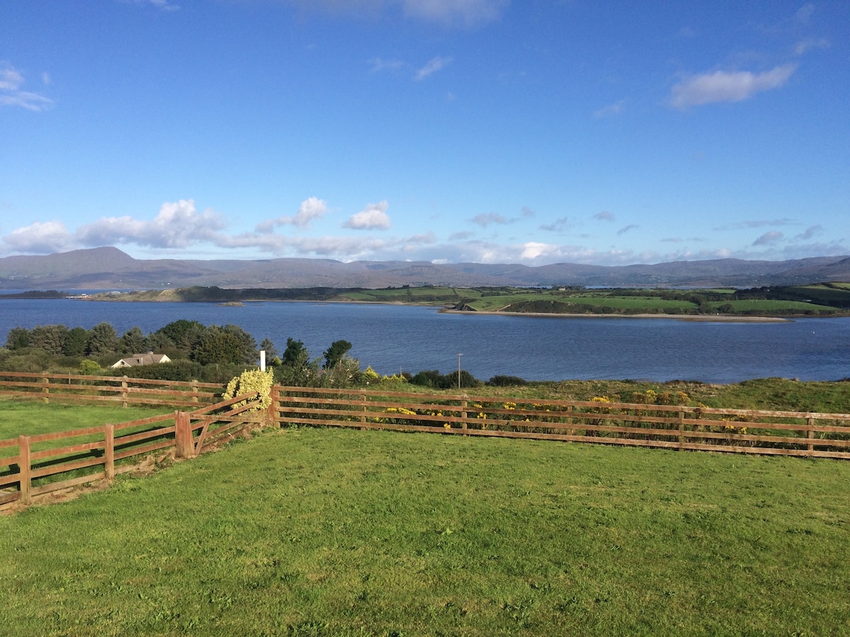 Man-made underground passage in Tullig (muskerry West By.)Man-made underground passage · 1 yd
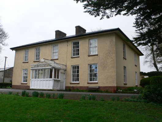 Tullig Househouse · 304 yd
 Quarry in LiscahaneQuarry · 614 yd
 Urn burial in LiscahaneUrn burial · 746 yd
 Millstreet Tourist InformationVisitor information · 1621 yd
 St. Patrick's ChurchVisitor information · 1648 yd
 Millstreet Museum & Tourist Information CentreMuseum · 1732 yd
 RowanRowan · 1.3 mi
 Castle and TurretCastle, tower house · 1.3 mi
 Kilmeedy CastleCastle, tower house · 1.9 mi
 Claragh MountainMountain / peak · 2.2 mi
 Blackwater (Duhallow) WayWalking route · 3.3 mi