What is recorded here
Fairy fort / earthen ringfort in Tullahennel North, County Kerry, Ireland: A circular enclosure mapped in 1841-42 but erased from later surveys, now absent even as a shadow on the ground. It may have been a farmstead, a refuge, or a boundary marker for neighbours who no longer speak its name. The land keeps the shape longer than memory does, waiting for someone to walk the circle and remember why it was drawn.
This site appears as a circular enclosure on the 1841-42 OS map but does not appear on the later edition. No surface trace survives today.
The above description is derived from C. Toal, ‘North Kerry Archaeological Survey’. Dingle. Brandon in association with FAS Training and Employment Authority (1995), no. 313. In certain instances the entries have been revised and updated in the light of recent research.
Date of upload: 2 August 2013
The monument record does not grant public access. Check the route and ask the landowner before entering private land.
- What survives
- Recorded monument
Places near here
 Enclosure in Aghanagran UpperEnclosure · 1593 yd
 Enclosure in Aghanagran MiddleEnclosure · 1.3 mi
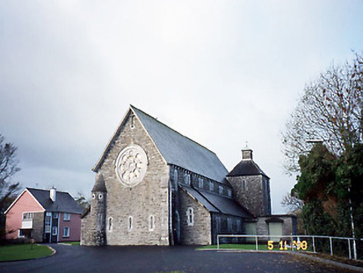 Catholic Church of Saint Michael the Archangelchurch/chapel · 2.1 mi
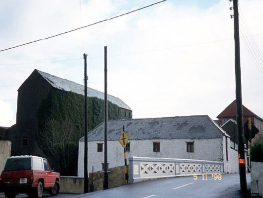 store/warehousestore/warehouse · 2.2 mi
 CastleCastle, ringwork · 2.5 mi
 Siege of Carrigafoyle Castlesiege · 2.6 mi
 Carrigafoyle Cas. (in ruins)Castle, tower house · 2.6 mi
 Carrig IslandIsland · 2.8 mi
 KnockanoreMountain / peak · 3.5 mi
 Beal PointHeadland · 4.8 mi
 Scattery IslandIsland · 5.1 mi
 Fawley's PointHeadland · 5.1 mi