What is recorded here
Tulach Chonóg is a lost ringfort because a house sits on the wood where its forty-metre earth bank stood. It appeared on the 1836 map as a fort, remained visible enough to mark in 1912, and disappeared before 1969. The fairies kept their fort in the names while the living took the land back.
Situated on a W-facing slope. A circular embanked enclosure (ext. diam. c. 40m) is depicted within a small wood on the 1836 edition of the OS 6-inch map where it is described as a ‘Fort’ and as a hachured feature on the 1912 edition. It had been removed by 1969 (SMR file) and the site is now occupied by a house.
The above description is derived from the published 'Archaeological Inventory of County Meath' (Dublin: Stationery Office, 1987). In certain instances the entries have been revised and updated in the light of recent research.
Compiled by: Michael Moore
Date of revision: 17 April 2019
The monument record does not grant public access. Check the route and ask the landowner before entering private land.
- What survives
- Recorded monument
Places near here
 Church (in Ruins)Church · 904 yd
 Enclosure in Tulach ChonógEnclosure · 1111 yd
 Not idicaetedFairy fort / earthen ringfort · 1398 yd
 Moymet CastleCastle, tower house · 1.2 mi
 IndicatedCastle, motte · 1.7 mi
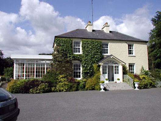 Clonylogan Housefarm house · 2.1 mi
 FraineMountain / peak · 3.6 mi
 JamestownMountain / peak · 4.2 mi
 The New Line RoadMemorial · 5.4 mi
 Small-leaved ElmSmall-leaved Elm · 5.8 mi
 Beggarbush WoodWood · 6.7 mi
 Donaghmore Round TowerHeritage attraction · 9.8 mi