
What is recorded here
Situated on a gentle SW-facing slope. The rectory of Tyllanoge was impropriate to the priory of St John the Baptist in Newtown Trim, and it is listed amongst the possessions of the priory at the Suppression in 1540 (White 1943, 301). Ussher (1622) describes the church as utterly ruined (Erlington 1847-64, 1, lxxxvi). This is confirmed by the Dopping (1682-5) and Royal (1693) visitations, which provide the information that it was dedicated to St Columba and was not enclosed (Ellison 1972, 11). Cogan (1862-70, 2, 368) records the church as measuring ’54 feet by 25 feet internally (c. 16.45m x c. 7.6m)’. The SW gable and the sunken area of a building orientated SW-NE (int. dims 13.3m NE-SW; c. 6m NW-SE) survive. There is a base-batter and a destroyed window embrasure are evident in the SW wall but the NW and SE walls are not traceable. The church is within a subrectangular graveyard (dims c. 48m NW-SE; c. 32m NE-SW) defined by masonry walls.
The above description is derived from the published 'Archaeological Inventory of County Meath' (Dublin: Stationery Office, 1987). In certain instances the entries have been revised and updated in the light of recent research.
Compiled by: Michael Moore
Date of revision: 5 January 2014
The monument record does not grant public access. Check the route and ask the landowner before entering private land.
- What survives
- Recorded monument
Places near here
 Not idicaetedFairy fort / earthen ringfort · 496 yd
 Enclosure in Tulach ChonógEnclosure · 1393 yd
 Moymet CastleCastle, tower house · 1.6 mi
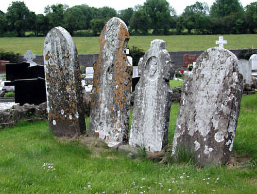 Saint Dympna's Cemeterygraveyard/cemetery · 2.2 mi
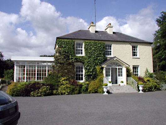 Clonylogan Housefarm house · 2.2 mi
 CastleCastle, motte · 2.6 mi
 FraineMountain / peak · 3.2 mi
 JamestownMountain / peak · 3.8 mi
 The New Line RoadMemorial · 5.2 mi
 FarmaphobiaHeritage attraction · 5.5 mi
 Causey FarmHeritage attraction · 5.5 mi
 Laurelberry WoodWood · 5.7 mi
Other information
Photo: Credit not shown in the picture search · Rights wording not checked; contact us if this picture should be removed