
What is recorded here
Situated on a rise in a fairly level landscape. Raised subcircular, flat-topped and grass-covered mound (dims of top 21 NW-SE; 18m NE-SW; diam. of base 36m NW-SE; H 3.5m) with some trees defined by a slight fosse (Wth of top 6-7m; ext. D 0.3-0.4m).
The above description is derived from the published 'Archaeological Inventory of County Meath' (Dublin: Stationery Office, 1987). In certain instances the entries have been revised and updated in the light of recent research.
Date of revision: 2 June 2016
A local castle; wider significance not recorded.
The monument record does not grant public access. Check the route and ask the landowner before entering private land.
- What survives
- Recorded monument
Places near here
 Enclosure in BallaghtalionEnclosure · 924 yd
 IndicatedCastle, motte · 1265 yd
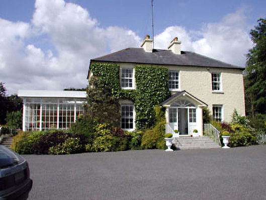 Clonylogan Housefarm house · 1.2 mi
 Enclosure in PhillinstownEnclosure · 1.3 mi
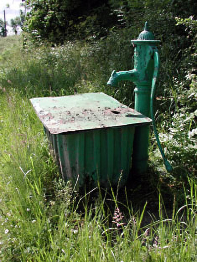 water pumpwater pump · 1.7 mi
 Moyrath CastleCastle, tower house · 1.7 mi
 FraineMountain / peak · 4.2 mi
 European BeechEuropean Beech · 5.5 mi
 Common LimeCommon Lime · 5.5 mi
 Croppies' GraveMemorial · 9.8 mi
 Cloncurry GraveyardHeritage attraction · 10 mi
 Old Bog Road made famous by Teresa Bryton 1868-1943Memorial · 10 mi
Other information
Photo: Credit not shown in the picture search · Rights wording not checked; contact us if this picture should be removed