What is recorded here
Located towards the E edge of a broad plateau with the valley of the N-S River Sow just to the E and the stream c. 250m to the E. The faint cropmark of a circular enclosure (diam. c. 30m) defined by a faint fosse feature is visible on aerial photographs (ASIAP (268) 18, 19).
Compiled by: Michael Moore
3 September, 2012
Amended: 1 May, 2014
The monument record does not grant public access. Check the route and ask the landowner before entering private land.
- What survives
- Recorded monument
Places near here
 Embanked enclosureCastle, motte · 396 yd
 Man-made underground passage in Mill Lands (ballaghkeen By., Edermine Ed)Man-made underground passage · 775 yd
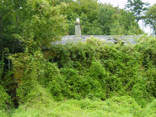 farm housefarm house · 1144 yd
 Not idicatedField system · 1172 yd
 bridgebridge · 1.2 mi
 Eden ValeWood · 1.2 mi
 Artramon CastleCastle, tower house · 1.9 mi
 Peace GardenMemorial · 2.3 mi
 Ballywish SouthForest · 2.4 mi
 1798 MemorialMemorial · 3.7 mi
 Wexford Wildfowl ReserveHeritage attraction · 4.4 mi
 Three Sisters River CruisesHeritage attraction · 4.6 mi