What is recorded here
Situated on the S-side of a high ridge, in pasture and tillage with good views to E and W. Sionhill House lies c. 170m to NW. Depicted on the revised 1913 ed. OS 25-inch map as a roughly circular-shaped earthwork. Monument described in 1970 as a large circular shaped area (approx. diam. 49m) enclosed by a bank which has been reduced to a scarp and with the remains of an external fosse. The bank is substantial and best preserved from E-SE. elsewhere it is slight with a number of gaps. The wide shallow fosse is visible from W-N-E-SE. A later trench has been dug outside the bank from S-W. The original entrance is not clearly visible. A possible entrance gap may exist at E-SSE where the bank is reduced to a scarp, it is slightly defaced and a depression exists at the base. There is a large, shallow quarry hole on the exterior from SE-SSE. The interior has a gentle NE-facing slope with traces of cultivation ridges running NE-SW. Monument is visible today as a partial circular tree-lined earthwork, the interior of which has been ploughed across as shown on Digital Globe aerial photography.
Compiled by: Alison McQueen, Vera Rahilly and Caimin O’Brien
Date of upload: 11 June 2019
The monument record does not grant public access. Check the route and ask the landowner before entering private land.
- What survives
- Recorded monument
Places near here
 Enclosure in CorbetstownEnclosure · 890 yd
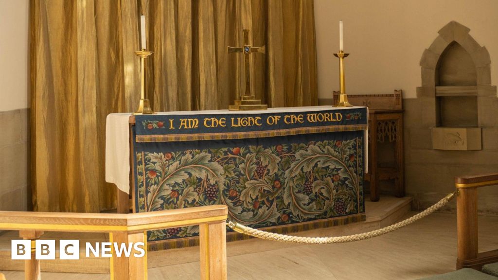 Ecclesiastical enclosure in CorbetstownEcclesiastical enclosure · 962 yd
 Kilpatrick ChurchChurch · 963 yd
 CastleCastle, motte · 994 yd
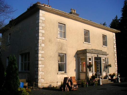 Corbetstown Househouse · 1036 yd
 Edmondstown Castle (in Ruins)Castle, tower house · 1.1 mi
 GinkgoGinkgo · 2.0 mi
 ScregganWood · 4.6 mi
 Croppies' GraveMemorial · 9.4 mi
 Kells HillMountain / peak · 10.0 mi
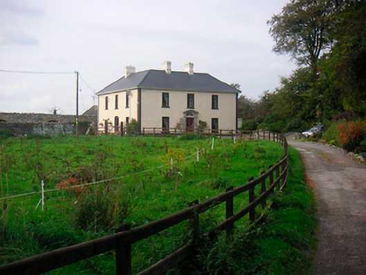 Millarstown Househouse · 1075 yd
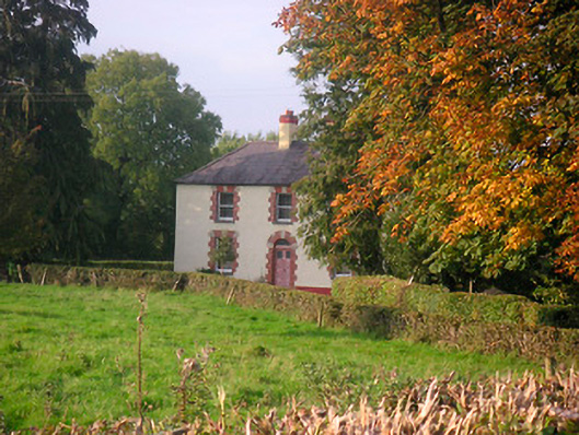 Scarden Househouse · 1128 yd