What is recorded here
In improved pasture, on a SE-facing slope. Barely traceable remains of circular area (diam. c. 25m) defined by faint outline of fosse. Depicted on 1st (1840) and 2nd (1952-4) eds OS 6-inch map as a roughly circular area (map dims. c. 54m N-S; c. 56m E-W). A sketch plan and profiles drawn in 1954 depict a roughly circular monument enclosed by a bank (Field memorandum files). In 1982 it is described by Cahill (1982, R415) as being 'in fair condition with one bank and one ditch'. Ringfort (TS061-065002-) is c. 8m to S.
Compiled by: Jean Farrelly
Date of upload: 26 August 2011
The monument record does not grant public access. Check the route and ask the landowner before entering private land.
- What survives
- Recorded monument
Places near here
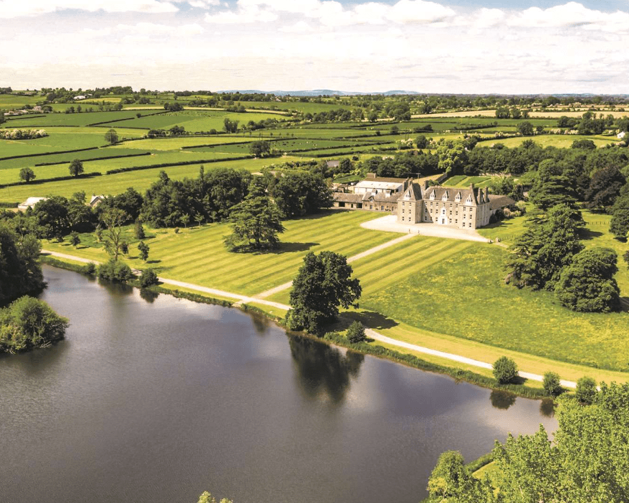 Enclosure in MagorbanEnclosure · 641 yd
 Enclosure in SilverfortEnclosure · 824 yd
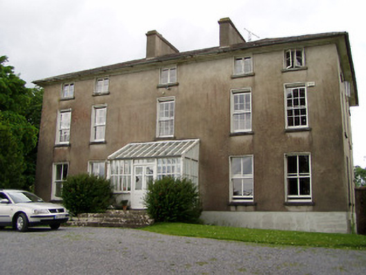 Silverfort Housecountry house · 855 yd
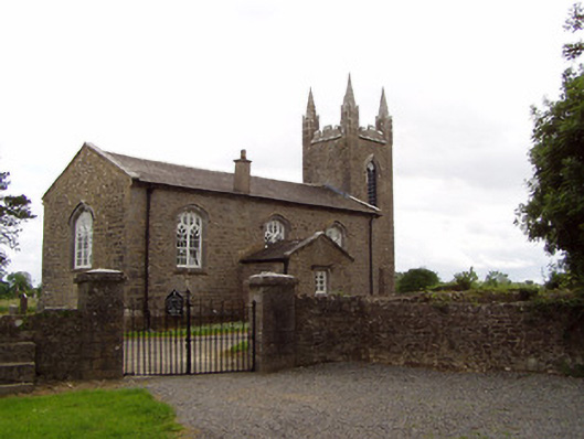 Church of the Holy Spirit (Magorban)church/chapel · 1281 yd
 CastleCastle, tower house · 1.1 mi
 The GarrisonCastle, tower house · 1.5 mi
 Ballyknock HillMountain / peak · 4.2 mi
 Kilknockan HillMountain / peak · 4.5 mi
 Cashel Folk MusuemMuseum · 5.0 mi
 European YewEuropean Yew · 5.1 mi
 Hore AbbeyHeritage attraction · 5.4 mi
 Enclosure in CurraghtarsnaEnclosure · 1087 yd