What is recorded here
Situated on a slight rise in a low-lying landscape with a canalised N-S stream c. 20m to the W. This is a subcircular grass-covered area (dims 35m NW-SE; 30m NW-SE) defined by a slight earthen bank (Wth of base 3.3-6m; int. H 0.1m; ext. H 0.8-0.9m). There is no visible fosse and the original entrance is not identified. The interior preserves some E-W cultivation ridges.
The above description is derived from the published 'Archaeological Inventory of County Meath' (Dublin: Stationery Office, 1987). In certain instances the entries have been revised and updated in the light of recent research.
Compiled by: Michael Moore
Date of revision: 26 February 2019
The monument record does not grant public access. Check the route and ask the landowner before entering private land.
- What survives
- Recorded monument
Places near here
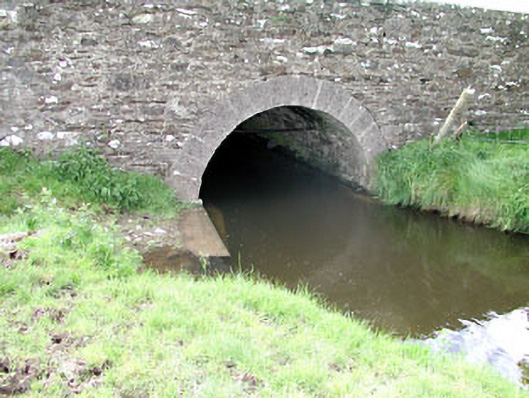 Martinstown Bridgebridge · 1197 yd
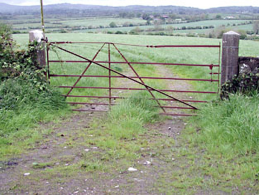 gates/railings/wallsgates/railings/walls · 1625 yd
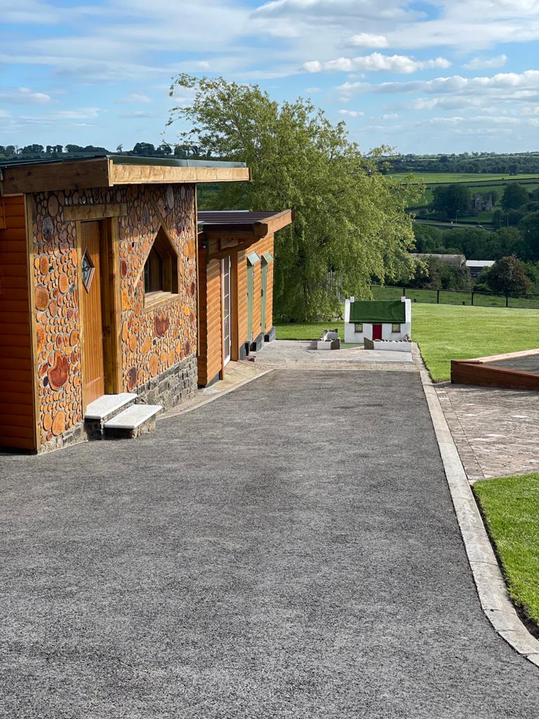 Enclosure in GibbonstownEnclosure · 1688 yd
 Round TowerCastle, tower house · 1.3 mi
 Ecclesiastical enclosure in KilskeerEcclesiastical enclosure · 1.3 mi
 CastleCastle, unclassified · 2.0 mi
 European ashEuropean ash · 2.1 mi
 Largan WoodWood · 2.4 mi
 CloncatMountain / peak · 3.4 mi
 Kells HillMountain / peak · 3.7 mi
 Oliver Plunkett memorialMemorial · 4.2 mi
 BoglandMemorial · 4.5 mi