
What is recorded here
There are large enclosures from the field system (ME016-044----) in the fields surrounding St. Scíre’s early church site (ME016-043----). An archaeo-magnetic survey in these fields identified elements of an ecclesiastical enclosure in two parallel ditches, 20m apart, curving around the graveyard just to its N. (Gibson 2007, 35)
Compiled by: Michael Moore
Date of upload: 7 August, 2014
A local fairy fort (ringfort/rath); wider significance not recorded.
The monument record does not grant public access. Check the route and ask the landowner before entering private land.
- What survives
- Recorded monument
Places near here
 Round TowerCastle, tower house · 28 yd
 IndicatedHoly well · 208 yd
 Stone CrossCross, Wayside cross · 681 yd
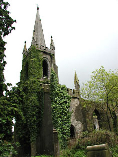 Saint Schiria's Church (Kilskeer)church/chapel · 1.8 mi
 Killua Castlegate lodge · 1.8 mi
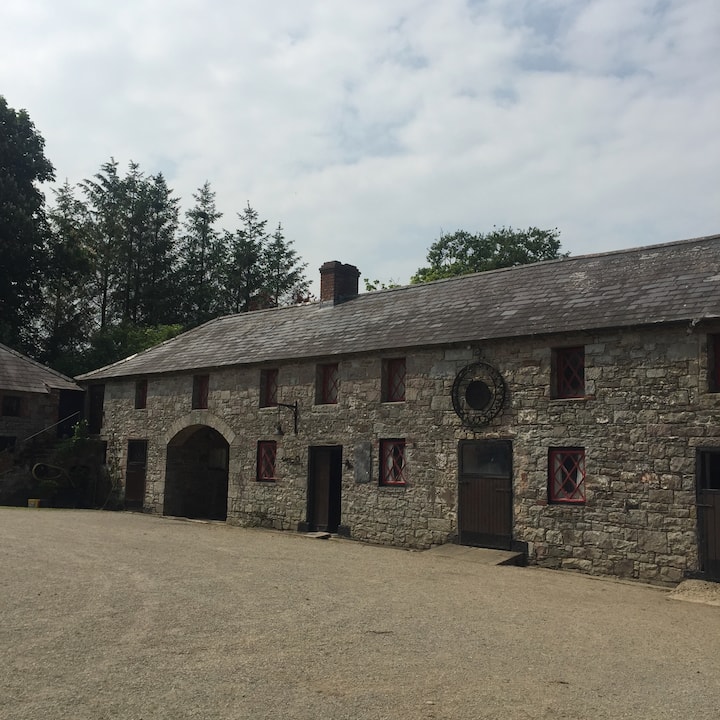 Casserly's WoodWood · 1.8 mi
 Bog WoodsForest · 1.9 mi
 CloncatMountain / peak · 2.1 mi
 Drewstown LittleMountain / peak · 2.6 mi
 BoglandMemorial · 3.1 mi
 Causey FarmHeritage attraction · 3.6 mi
 Moat of DiamorCastle, motte and bailey · 3.6 mi
Other information
Photo: Credit not shown in the picture search · Rights wording not checked; contact us if this picture should be removed