What is recorded here
On a SE-facing slope in pasture. A raised circular area (diam. c. 32m) defined from WNW-N-ENE by a scarp/bank (H 0.35m). Elsewhere the enclosing element has been modified and incorporated into a field boundary. A field drain (D c. 1.5m) surrounds the monument; it was probably dug along the line of an external fosse. The original entrance is not recognisable.
Compiled by: Patrick F. O'Donovan
Date of upload: 18 January 2012
The monument record does not grant public access. Check the route and ask the landowner before entering private land.
- What survives
- Recorded monument
Places near here
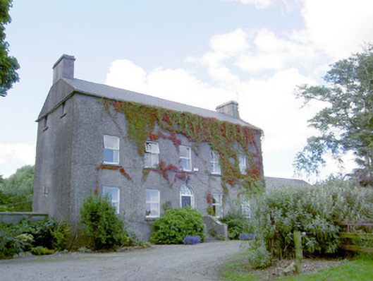 Richmount Hillhouse · 532 yd
 CastleCastle, motte · 573 yd
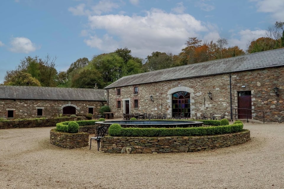 Enclosure in BallybegEnclosure · 657 yd
 IndicatedFairy fort / earthen ringfort · 815 yd
 Church (in Ruins)Church · 1.2 mi
 DoonphilipCastle, motte · 1.4 mi
 European BeechEuropean Beech · 2.5 mi
 Abbeyshrule AbbeyRuins · 3.4 mi
 National Famine WayWalking route · 3.6 mi
 Goldsmith Birthplace, PallasVisitor information · 3.8 mi
 Newcastle WoodsForest · 4.0 mi
 Target WoodWood · 4.2 mi