What is recorded here
Fairy fort in Scarriff, County Cork. O Ríordáin measured a single ramparted lios twenty-nine yards wide in 1931, but ploughing has since rubbed the earth flat. The fort disappeared because people needed food, not memory. Under the soil remains a circle, waiting for rain or curiosity to reveal its shape again.
In tillage, on S-facing slope. Marked as circular enclosure on OS 6-inch map (1842). No visible surface trace. O Ríordáin (1931, 58) saw remains of 'single ramparted lios ... 29 yards in diameter'.
The above description is derived from the published 'Archaeological Inventory of County Cork. Volume 1: West Cork' (Dublin: Stationery Office, 1992). In certain instances the entries have been revised and updated in the light of recent research.
Date of upload/revision: 14 January 2009
The monument record does not grant public access. Check the route and ask the landowner before entering private land.
- What survives
- Recorded monument
Places near here
 Man-made underground passage in Kilbarry (kinalmeaky By.)Man-made underground passage · 955 yd
 Fulacht FiadhFulacht fia · 1057 yd
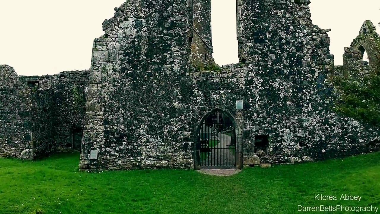 Kilbrenan Abbey (in Ruins)Religious house, unclassified · 1642 yd
 Mount Pleasant Schoolschool · 1.2 mi
 Mount Pleasant WoodWood · 1.5 mi
 Towers (in Ruins)House, fortified house · 1.7 mi
 Castle Nalacht, site ofCastle, unclassified · 2.1 mi
 Michael Collins MemorialMemorial · 2.6 mi
 Pedunculate OakPedunculate Oak · 3.2 mi
 Independence MuseumMuseum · 4.3 mi
 Kilmurry WoodsPicnic place · 4.7 mi
 Green HillMountain / peak · 4.8 mi