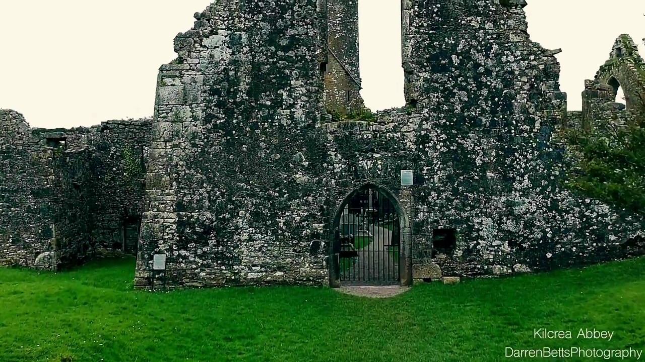
What is recorded here
On S-facing slope, near top of hill; immediately S of modern farm buildings, skirted to S by recent coniferous plantation. Roughly rectangular area (18.3m E-W; 6.8m N-S) defined by mound of rubble to W and SW (H c. 2m; 5m E-W), with traces of wall showing to W; and rectangular mound to E (H c. 2m), retained by stone wall (max. ext. H 2m; T 0.75m) to N (L 6.8m), E and S (L 5m); blocked ope at W end of N wall. To W of blocked ope, wall line interrupted by S end of second wall extending to N at right angles (L 2.9m); beyond this wall, line of N wall continues towards W end but is different in character, lower and narrower (H 1m; T 0.5m). E section probably that described by Hartnett (1939, 300) as 'the eastern gable', where he identified 'slight traces of a window opening'. Smith (1750, vol. 1, 198) mentions site as 'an abbey of regular canons, foundedby St. Aedus, in the eighth century'; no such foundation listed by Gwynn and Hadcock (1988); exact nature of site unclear.
The above description is derived from the published 'Archaeological Inventory of County Cork. Volume 3: Mid Cork' (Dublin: Stationery Office, 1997). In certain instances the entries have been revised and updated in the light of recent research.
Date of upload/revision: 14 January 2009
The monument record does not grant public access. Check the route and ask the landowner before entering private land.
- What survives
- Recorded monument
Places near here
 Fulacht FianFulacht fia · 234 yd
 Fulacht FiadhFulacht fia · 1376 yd
 Garranes Housecountry house · 1.4 mi
 St Martin's Church of Ireland Churchchurch/chapel · 1.4 mi
 Castlemore CastleCastle · 2.1 mi
 Clodah CastleCastle · 2.3 mi
 Pedunculate OakPedunculate Oak · 2.3 mi
 Mount Pleasant WoodWood · 2.4 mi
 Michael Collins MemorialMemorial · 2.8 mi
 Graveyard in KilnagnadyGraveyard · 3.6 mi
 Independence MuseumMuseum · 4.0 mi
 Kilmurry WoodsPicnic place · 4.4 mi
Other information
Photo: Credit not shown in the picture search · Rights wording not checked; contact us if this picture should be removed