What is recorded here
Situated on NE-facing slope, in gently undulating pasture, with good views to NE and E, landscaped tree-ring 120m to SSE . Monument described as a subcircular-shaped area (diam. 42.5m NE-SW; 35m NW-SE) enclosed by a low earth and stone bank. There is no visible trace of an external fosse. The bank is best preserved from ESE-S-SW and is almost completely reduced to a scarp from SW-W-N-E-ESE. There is a very wide gap at SW, although a gap (Wth at top 6.7m; basal Wth 2.4m) at E seems to be the most likely as the original entrance. The interior has a gentle ENE-facing slope with faint traces of cultivation ridges running ENE-WSW. A small mound with steep sides is located in the NE quadrant and is either a modern feature or a grass covered rock.
See attached profile surveyed and drawn by the ASI.
Compiled by Alison McQueen, Vera Rahilly and Caimin O’Brien.
Date of upload: 30 September 2019
This remains an important historical record, but the official description says the monument is no longer visible or has been destroyed. The monument record does not grant public access. Check the route and ask the landowner before entering private land.
- What survives
- No visible remains or recorded as destroyed
Places near here
 Partially hachuredFairy fort / earthen ringfort · 478 yd
 OutlinedFairy fort / ringfort · 501 yd
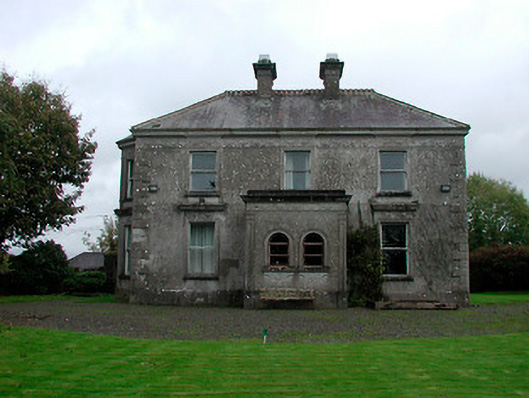 Russellstown Housecountry house · 568 yd
 CastleCastle, tower house · 860 yd
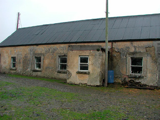 farm housefarm house · 1.2 mi
 Boardstown Castle (in Ruins)Castle, tower house · 1.3 mi
 Augustinian Monks Memorial StatueMemorial · 2.5 mi
 The Chimera GalleryGallery · 2.7 mi
 Famine MemorialMemorial · 2.7 mi
 Saint Brigid's WellSpring · 4.2 mi
 Ash IslandIslet · 5.1 mi
 Long PlantingForest · 5.1 mi