What is recorded here
Situated on a gentle SE-facing slope. Bivallate circular ringfort (diam. c. 28m) defined by an earthen bank (Wth 3-3.5m; H 0.3m), an external fosse (Wth 2.5m; max. D 0.5m) and an outer bank (Wth 2m; H 0.8m). No indication of an entrance or internal features; the site is very overgrown. The site is clipped at the NE by a lane flanked by earthen banks.
The above description is derived from the published 'Archaeological Inventory of County Wicklow' (Dublin: Stationery Office, 1997). In certain instances the entries have been revised and updated in the light of recent research.
Date of upload/revision: 17 December 2008
The monument record does not grant public access. Check the route and ask the landowner before entering private land.
- What survives
- Recorded monument
Places near here
 IndicatedEnclosure · 509 yd
 Barnadown Housegates/railings/walls · 746 yd
 Enclosure in KillavenyEnclosure · 780 yd
 1798 MemorialMemorial · 1221 yd
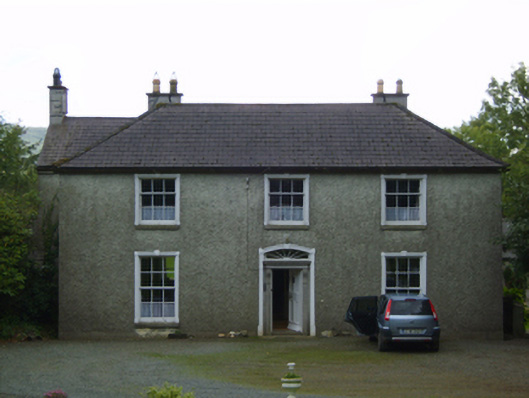 Wingfield Housefarm house · 1.0 mi
 (Site of) Raymond CastleCastle, unclassified · 1.1 mi
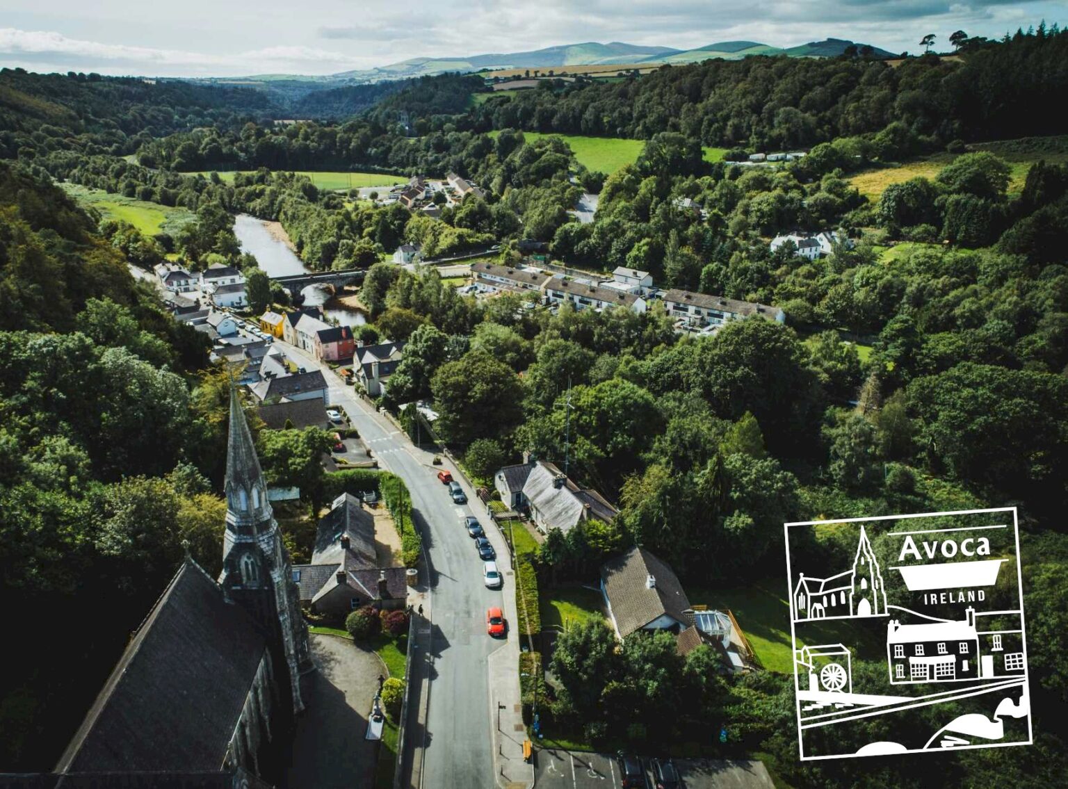 Killaveny WoodWood · 1.3 mi
 Coolalug WoodWood · 1.5 mi
 Ballythomas HillMountain / peak · 2.5 mi
 Annagh HillMountain / peak · 2.7 mi
 1798 Lacey Brothers MemorialMemorial · 2.8 mi
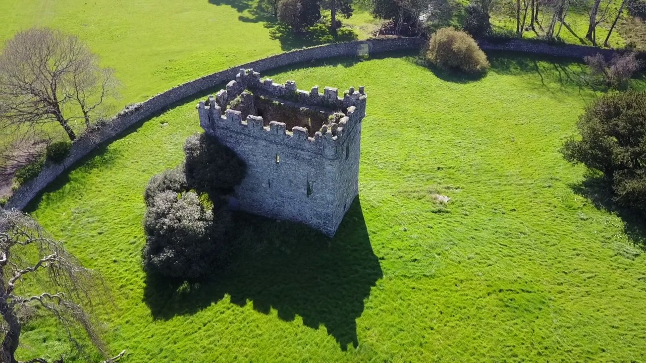 (Site of) Castle & RampartCastle, unclassified · 3.4 mi