What is recorded here
In pasture, at the NE end of a low natural ridge, on a break in a NE-facing slope. A slightly raised roughly circular area (18.5m N-S; 18m E-W) defined by an arc of earthen bank (int. H 0.55m; ext. H 0.85m) W-ENE. Along the SE arc, where a field drain has been dug at the base of the bank, the bank has been straightened and increased in height (int. H 0.85m). The bank has been removed by quarrying along the SW arc and the interior is now defined by a scarp (H 0.3m). Rock debris from this quarrying has been dumped in the interior at S and against the external face of the bank at W. The bank also appears to have been straightened along the NE arc due to the construction of a straight NW-SE field boundary (H 0.5m) which abuts its external face. A rath (SL033-002----) lies immediately to SE, in the adjoining field.
The above description is derived from the published 'Archaeological Inventory of County Sligo' compiled by Ursula Egan, Elizabeth Byrne, Mary Sleeman with Sheila Ronan and Connie Murphy (Dublin Stationery Office, 2005).
Date of upload: 18 January 2008
This remains an important historical record, but the official description says the monument is no longer visible or has been destroyed. The monument record does not grant public access. Check the route and ask the landowner before entering private land.
- What survives
- No visible remains or recorded as destroyed
Places near here
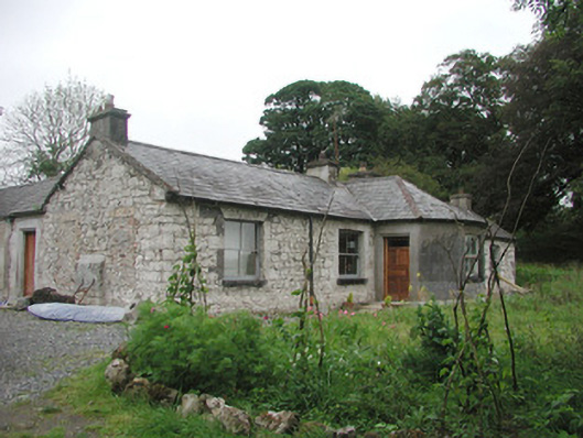 Somertonhouse · 439 yd
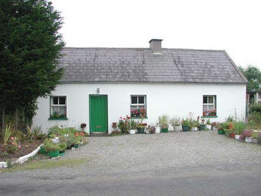 Temple Housegate lodge · 468 yd
 Enclosure in Rathnarrow (o'hara)Enclosure · 1454 yd
 European ashEuropean ash · 1523 yd
 IndicatedBawn · 1608 yd
 CrossCross, High cross · 1619 yd
 ElderElder · 1639 yd
 RathdoonyCastle, motte · 2.3 mi
 Brother WalfridMemorial · 3.3 mi
 Tullaghan HillMountain / peak · 4.2 mi
 Tymon's HillMountain / peak · 4.9 mi
 Teeling MonumentMemorial · 5.7 mi