What is recorded here
Mortars and men destroyed the fort in 1976. They rained fire on Ratharoon East and leveled the earth. The fairies did not run. They sank into the ground and waited. Thirty years later a woman dreamed of a red door under a hill. She dug at dawn and found a chamber filled with milk and music. The fairies had been building a new fort inside the dead one. They used the holes left by the guns as rooms. They turned human violence into a house.
In pasture, on gentle SE-facing slope. Oval area (30m N-S; 36m E-W) defined by slight rise (H 0.4m). Levelled c. 1976.
The above description is derived from the published 'Archaeological Inventory of County Cork. Volume 1: West Cork' (Dublin: Stationery Office, 1992). In certain instances the entries have been revised and updated in the light of recent research.
Date of upload/revision: 14 January 2009
The monument record does not grant public access. Check the route and ask the landowner before entering private land.
- What survives
- Recorded monument
Places near here
 Moated site in Ballymore (carbery E. (e.d.) By.)Moated site · 1665 yd
 Tullylandfarm house · 1.1 mi
 Graveyard (Disused)Burial ground · 1.1 mi
 Ballynough Bridgebridge · 1.7 mi
 Crois Na Leanbh MemorialMemorial · 1.9 mi
 Carbury's WellSpring · 2.2 mi
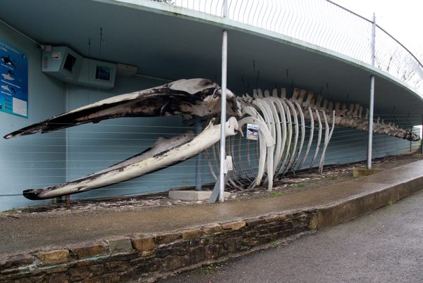 Kilbrittain WhaleHeritage attraction · 2.6 mi
 Marie LouiseWreck · 2.7 mi
 Quay WoodWood · 2.9 mi
 Bandon War MemorialMemorial · 3.0 mi
 Carrighnassig Castle (Site of)Castle, unclassified · 3.0 mi
 Garranereagh WoodWood · 3.1 mi