What is recorded here
In pasture on N-facing slope, stream to E. Square area (43.7m E-W; 43.3m N-S) defined by scarp (H 1.7m) to E; earthen bank (int. H 1.4m) to S, W and N. Outer bank (H 1.4m) with intervening fosse W->NE. Break in bank on S side.
From the National Monuments Service (Archaeological Survey of Ireland) record CO111-047
The monument record does not grant public access. Check the route and ask the landowner before entering private land.
- What survives
- Recorded monument
Places near here
Photo credits
- National Inventory of Architectural Heritage
- Mac McCarron, Geograph · CC BY-SA 2.0
- Hywel Williams, Geograph · CC BY-SA 2.0
- Neville Goodman, Geograph · Creative Commons Attribution-ShareAlike 2.0
- John M, Geograph · CC BY-SA 2.0
- Wikipedian231, Wikimedia Commons · CC0
- Garry Dickinson, Geograph · CC BY-SA 2.0
- Mike Searle, Geograph · CC BY-SA 2.0
CrushnalannivBurial ground · 1574 ydCrois Na Leanbh MemorialMemorial · 1719 yd Kilbrittain CastleOutbuilding · 1.7 miRiverdale HouseCountry house · 1.8 miKilbrittain WhaleHeritage attraction · 2.0 miGarranefeen StrandBeach / strand · 3.1 miTrinity WellSpring · 3.2 miKilpadder Burial Ground (Site of)Burial ground · 3.7 miFlaxfort StrandBeach / strand · 3.8 miThe Moving StatueHeritage attraction · 4.2 miWhite Castle (in Ruins)House, fortified house · 4.6 miCastle BernardRuins · 4.6 mi
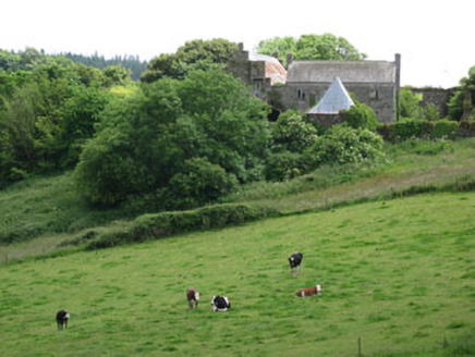 Kilbrittain CastleOutbuilding · 1.7 mi
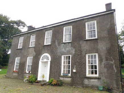 Riverdale HouseCountry house · 1.8 miKilbrittain WhaleHeritage attraction · 2.0 mi
 Garranefeen StrandBeach / strand · 3.1 mi
 Trinity WellSpring · 3.2 mi
 Kilpadder Burial Ground (Site of)Burial ground · 3.7 mi
 Flaxfort StrandBeach / strand · 3.8 mi
 The Moving StatueHeritage attraction · 4.2 mi
 White Castle (in Ruins)House, fortified house · 4.6 mi
 Castle BernardRuins · 4.6 mi
More archaeology and monuments in County Cork · All of County Cork
What do you know about this place?