What is recorded here
On the E-facing slope of a low hill, in hillocky terrain in pasture with meandering streams. The River Ara flows roughly N-S c. 10m from the E side of the ringfort. There is a standing stone (TS067-129----) 57m to the NNW and another (TS067-130----) 124m to the WSW. An oval enclosure (dims. 16.2m N-S; 19.3m E-W) defined by an earthen bank (int. H 0.5m; ext. H 0.9m; Wth at crest 1.5m; Wth at base 4m) with some stone (diam. 0.1-0.15m) protruding and a wide, flat-bottomed outer fosse (Wth 4.5m; D 1.5m) from SSW-W-N. The bank and fosse are not visible in the S sector, these may have been destroyed by a field bank which runs roughly E-W along the S side of the ringfort. The bank is disturbed in the SE quadrant where there may have been an original entrance. The interior slopes with the E-SE slope of the hill. Hawthorn and whitethorn bushes are growing around the bank in the N and W sectors. The interior is relatively free of scrub but is somewhat overgrown with thistles and nettles. The ringfort has subject to cattle poaching.
Compiled by: Jean Farrelly
Date of upload: 12 December 2012
A fairy fort or earthen ringfort in Rathanny is a circular earthwork typical of early-medieval Ireland, likely dating to between the 5th and 10th centuries. Local folklore associates such sites with the faé, and they were often believed to be entrances to the Otherworld or homes of mythical beings.
The monument record does not grant public access. Check the route and ask the landowner before entering private land.
- What survives
- Recorded monument
Places near here
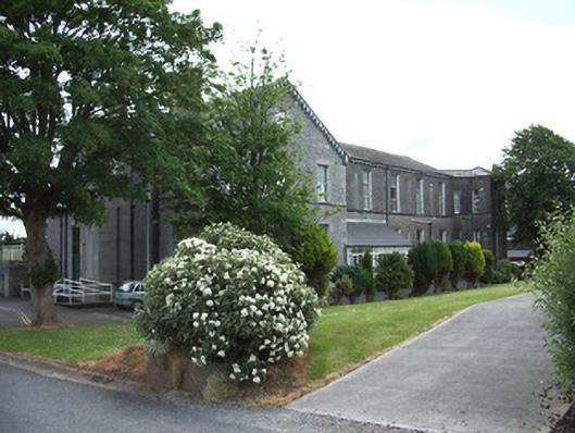 hospital/infirmaryhospital/infirmary · 675 yd
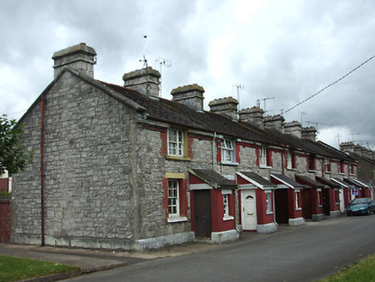 officer's houseofficer's house · 732 yd
 Site of AbbeyReligious house, Augustinian friars · 1328 yd
 IndicatedHoly well · 1408 yd
 It's a long way to TippereryHeritage attraction · 1527 yd
 The Maid of ErinMemorial · 1569 yd
 CastleCastle, ringwork · 1659 yd
 I.R.A. 3rd. Tipperary Brigade MemorialMemorial · 1.0 mi
 Cordangan Castle ruinsCastle · 1.1 mi
 The RockViewpoint · 1.7 mi
 Bansha ForestForest · 2.0 mi
 Christ the KingViewpoint · 2.4 mi