What is recorded here
Forty-four metres across, the fairy fort in Pottle West stands as a low earthen ring where a much-denuded bank and faint fosse still mark the boundary. The eastern break, partly blocked but likely the original entrance, invites imagination about the people who once lived within this circular space. What remains is not a grand monument but a quiet suggestion of human presence, absorbed into the field boundary yet still holding the shape of its ancient purpose.
Raised circular area (int. diam. c. 44m) enclosed by a much-denuded low earthen bank and slight remains of a fosse identifiable only from NW-E-S. Both bank and fosse have been modified and incorporated into the field boundary. Partly blocked break in bank at E probably represents original entrance.
The above description is derived from the published 'Archaeological Inventory of County Cavan' (Dublin: Stationery Office, 1995). In certain instances the entries have been revised and updated in the light of recent research.
Date of upload/revision: 22 December 2008
The monument record does not grant public access. Check the route and ask the landowner before entering private land.
- What survives
- Recorded monument
Places near here
 CastleCastle, unclassified · 752 yd
 Church in KilmacnoranChurch · 962 yd
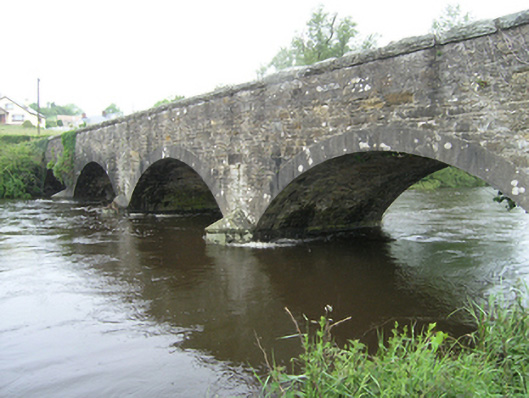 Ballynallon Bridgebridge · 1343 yd
 Drumcarn Ho.Castle, unclassified · 1547 yd
 Ceremonial enclosure in NeddaiaghCeremonial enclosure · 1.3 mi
 ArdamaghMountain / peak · 1.7 mi
 CorgarveMountain / peak · 1.7 mi
 Mass-rock in Longfield (drumcarn Ed)Mass-rock · 1.7 mi
 Giant's GraveArchaeological place · 2.2 mi
 Garden IsleIslet · 2.5 mi
 Agroforestry plotForest · 2.6 mi
 Castleterra ForestForest · 2.9 mi