What is recorded here
Situated immediately NE of a field boundary to the SE of a farmyard on a S-facing slope in poorly drained, gently undulating pasture. The monument is partially obscured by scrub. Evident as a sub-circular area (19m NE-SW; 16.6m NW-SE) defined by a scarped edge (Wth 2.3m; H 0.3m). There is a gap in the scarp to ESE (Wth 1m).
Compiled by: Denis Power
Date of upload: 1 July 2013
The monument record does not grant public access. Check the route and ask the landowner before entering private land.
- What survives
- Recorded monument
Places near here
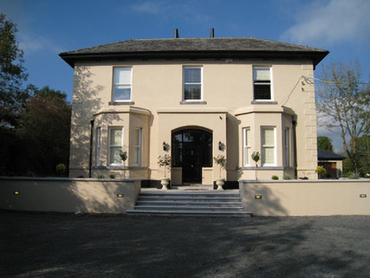 Dun-na-nDroicheadhouse · 512 yd
 CastleCastle, unclassified · 668 yd
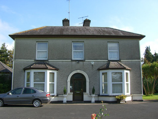 Ross Househouse · 702 yd
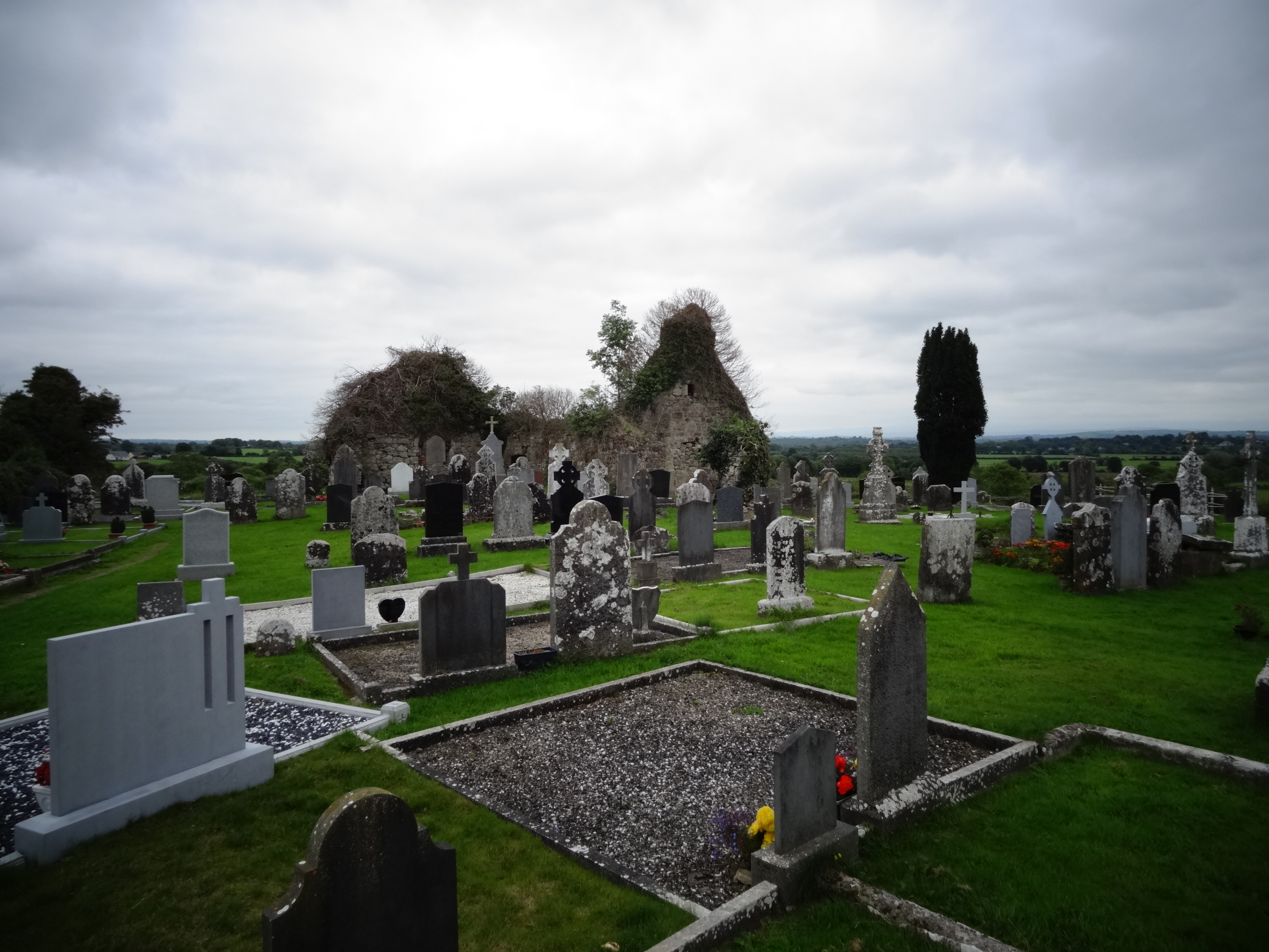 Grave YardGraveyard · 1.4 mi
 Tower HillCastle, unclassified · 1.8 mi
 Mound in Cullenagh (owneybeg By.)Mound · 1.8 mi
 Sliev Felim WayVisitor information · 3.1 mi
 Graveyard in AbingtonGraveyard · 3.4 mi
 Slieve FelimMountain / peak · 3.9 mi
 ToberagaddySpring · 4.0 mi
 KnockseefinMountain / peak · 4.2 mi
 St. Patrick's WellSpring · 6.9 mi