
What is recorded here
Situated at the base of a S-facing slope in poorly-drained pasture, with good views in all directions. Sub-rectangular area (49m E-W; 12m N-S) defined by a scarped edge (Wth 8.2-16.9m; H 0.6-0.9m). A N-S field boundary crosses the mound towards its western end.
Compiled by: Denis Power
Date of upload: 29 October 2013
The monument record does not grant public access. Check the route and ask the landowner before entering private land.
- What survives
- Recorded monument
Places near here
 Fulacht fia in Cullenagh (owneybeg By.)Fulacht fia · 256 yd
 IndicatedChurch · 972 yd
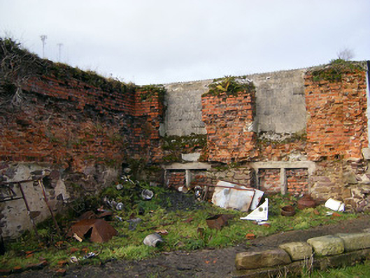 Bilboa Courtcountry house · 1.2 mi
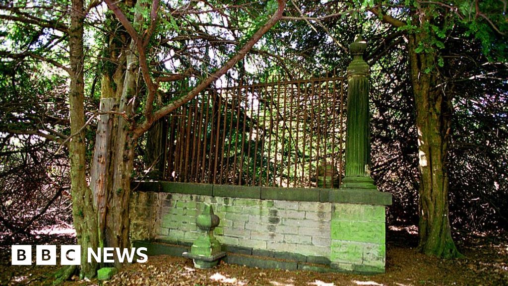 Grave YardChildren's burial ground · 1.5 mi
 CastleCastle, unclassified · 1.9 mi
 Slieve Felim WayWalking route · 2.2 mi
 Slieve FelimMountain / peak · 2.5 mi
 Slieve Felim East TopMountain / peak · 2.6 mi
 Tower HillCastle, unclassified · 3.3 mi
 Sliev Felim WayVisitor information · 3.9 mi
 Graveyard in AbingtonGraveyard · 4.7 mi
 St. Patrick's WellSpring · 8.5 mi
Other information
Photo: Credit not shown in the picture search · Rights wording not checked; contact us if this picture should be removed