What is recorded here
Pollareagh holds a subcircular earthen ringfort forty metres across, its low bank partly swallowed by modern field boundaries but still marking a wide southern entrance. The site belongs to the ancient landscape of County Cavan, where human hands shaped the earth long before written memory. It may have housed a family, stored grain or served as a boundary marker, yet its exact purpose has faded. The surviving shape suggests a place where people lived, worked and belonged before forgetting erased their names.
Subcircular raised area (int. dims. c. 40.5m ENE-WSW; c. 32m NNW-SSE) enclosed by a low earthen bank modified and incorporated into the field boundary from NW-N-NNE, and vague traces of a fosse. Wide break in bank at S may represent original entrance.
The above description is derived from the published 'Archaeological Inventory of County Cavan' (Dublin: Stationery Office, 1995). In certain instances the entries have been revised and updated in the light of recent research.
Date of upload/revision: 22 December 2008
The monument record does not grant public access. Check the route and ask the landowner before entering private land.
- What survives
- Recorded monument
Places near here
 Giant's GraveArchaeological place · 301 yd
 Worm Ditch or Black Pigs RaceArchaeological place · 1.2 mi
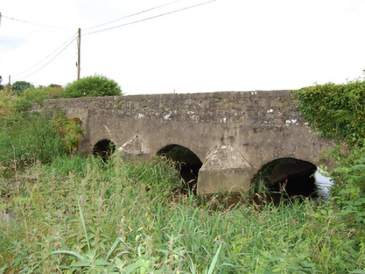 bridgebridge · 1.2 mi
 Enclosure in Ardkill MoreEnclosure · 1.2 mi
 Ardkill ForestForest · 1.2 mi
 Ardkill MoreMountain / peak · 1.3 mi
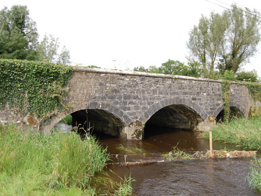 Derrin Bridgebridge · 1.6 mi
 Derry ForestForest · 1.6 mi
 Dennmore or LeggandennMountain / peak · 2.4 mi
 Bawn in DuffcastleBawn · 2.6 mi
 Carricknagore RockNamed rock · 3.4 mi
 Bawn in MoynehallBawn · 4.7 mi