What is recorded here
Situated just S of the summit of a low ridge, which is at the bottom of the S-facing slope at the E end of the Slieve na Calliagh ridge, in an area known as Knockrath. This is a circular grass-covered area (diam. c. 29.5m E-W; c. 27.5m N-S) defined by a widely spread earthen bank (Wth of base 10.5-12m; int. H 0.2-0.4m; ext. H 0.8m at E to 1.7m at W) and an outer fosse (at W: Wth of base 4m; ext. D 0.2m) that is largely reduced to a berm (at E: Wth 7m). The entrance might be a slight ramp (Wth 3.7m) at W. The entrance to Man-made underground passage (ME015-018002-) is on the perimeter of the rath at SSE.
The above description is derived from the published 'Archaeological Inventory of County Meath' (Dublin: Stationery Office, 1987). In certain instances the entries have been revised and updated in the light of recent research.
Compiled by: Michael Moore
Date of revision: 8 January 2019
The monument record does not grant public access. Check the route and ask the landowner before entering private land.
- What survives
- Recorded monument
Places near here
 Enclosure in PatrickstownEnclosure · 291 yd
 Concentric enclosure in PatrickstownConcentric enclosure · 451 yd
 Earthen TumulusCastle, motte · 1325 yd
 Largan WoodWood · 1.1 mi
 Oliver Plunkett memorialMemorial · 1.1 mi
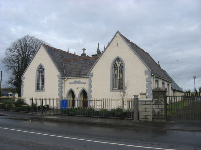 Ballinlough National Schoolschool · 1.3 mi
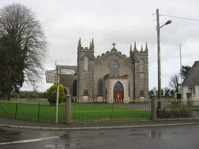 Catholic Church of the Assumptionchurch/chapel · 1.3 mi
 CastleCastle, motte and bailey · 1.9 mi
 Slieve Na CalliaghMountain / peak · 1.9 mi
 Loughcrew Megalithic TombsHeritage attraction · 1.9 mi
 Ballyhist WoodWood · 2.1 mi
 LoughcrewMegalithic tomb cemetery · 2.6 mi