
What is recorded here
Located towards the bottom of the S-facing slope of the ENE-WSW Slieve na Callaigh ridge. A D-shaped grass-covered feature (dims c. 30m N-S; c. 24m E-W) with the straight side (L c. 20m) at N is visible on Google Earth (17/001/2020). It was first reported by Jean Charles Caillere.
See the attached enhanced view from Google Earth (2020)
Compiled by: Michael Moore
Date of upload: 4 June 2020
The monument record does not grant public access. Check the route and ask the landowner before entering private land.
- What survives
- Recorded monument
Places near here
 Concentric enclosure in PatrickstownConcentric enclosure · 349 yd
 Earthen TumulusCastle, motte · 1095 yd
 Enclosure in Thomastown (fore By.)Enclosure · 1545 yd
 Oliver Plunkett memorialMemorial · 1725 yd
 Largan WoodWood · 1.2 mi
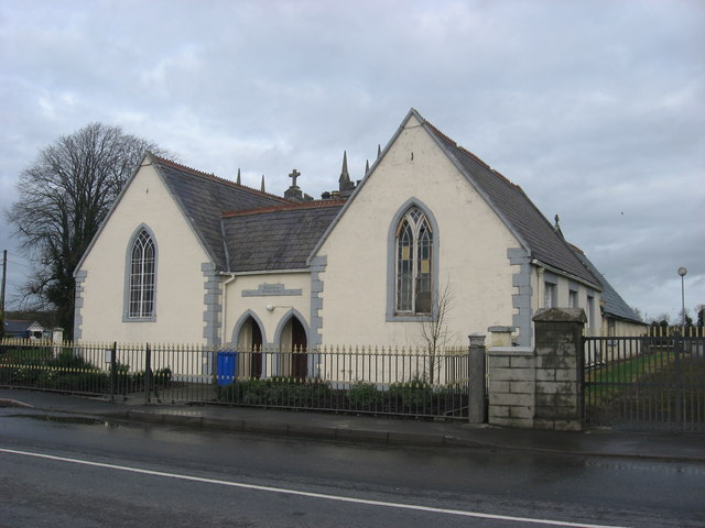 Ballinlough National Schoolschool · 1.5 mi
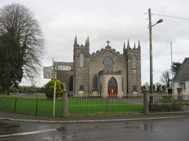 Catholic Church of the Assumptionchurch/chapel · 1.5 mi
 Slieve Na CalliaghMountain / peak · 1.8 mi
 Loughcrew Megalithic TombsHeritage attraction · 1.8 mi
 CastleCastle, motte and bailey · 1.9 mi
 Drumlerry WetlandForest · 2.0 mi
 LoughcrewMegalithic tomb cemetery · 2.5 mi
Other information
Photo: Credit not shown in the picture search · Rights wording not checked; contact us if this picture should be removed