What is recorded here
Fairy forts were human ringforts, not fairy palaces. In Pallas, a forty-metre circular enclosure stood on farmland before a north-south avenue cut through it and ploughing erased most of the bank. Today only a shallow scarp and a rumour of earth remain beside a ruined lime kiln, yet the shape is still written in the land: a home, a boundary, a life lived and forgotten.
Depicted as hachured circular enclosure (diam. c. 40m) on 1842 OS 6-inch map. Levelled; N-S avenue cuts across site off-centre to E. In pasture land field to W of avenue, enclosure survives as slight scarp SW->N; to N, earthen rampart at S side of ruined lime kiln is possibly modified remains of earthen bank (max. H 2m). In arable field to E of avenue, no visible surface trace of site survives. Probably one of three levelled ringforts recorded by Bowman (1934, 676) on lands of John Linehan, Andrew O'Callaghan and Joseph McCarthy.
The above description is derived from the published 'Archaeological Inventory of County Cork. Volume 4: North Cork' (Dublin: Stationery Office, 2000). In certain instances the entries have been revised and updated in the light of recent research.
Date of upload/revision: 14 January 2009
The monument record does not grant public access. Check the route and ask the landowner before entering private land.
- What survives
- Recorded monument
Places near here
 LisnapasteeBurial ground · 230 yd
 Gurteenkreen Castle (Site of)Castle, unclassified · 1035 yd
 Roskeen BridgeBridge · 1199 yd
 Roskeen Housecountry house · 1275 yd
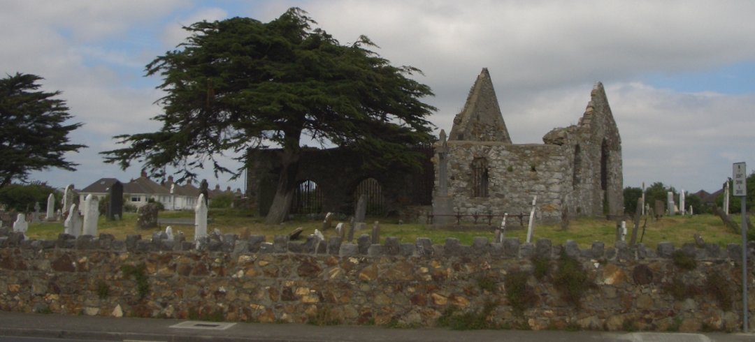 Burial ground in KilbarrahanBurial ground · 1431 yd
 Lohort CastleCastle, tower house · 2.1 mi
 Mount HillaryMountain / peak · 2.3 mi
 Mount Hillary - Knightfield LoopWalking route · 2.3 mi
 Mount Hillary - Mount Hillary LoopWalking route · 2.6 mi
 St Fursey's WellSpring · 2.9 mi
 Graveyard in Ballygiblin (duhallow By.)Graveyard · 2.9 mi
 Dromaneen CastleHeritage attraction · 3.1 mi