What is recorded here
Clear water still moves thirty metres from the fort, testifying that human hands built the earthworks rather than fairies. The grade is shallow, the boundary clear and the excluded centre remains consistent with a deliberate rath. The chamber beneath is not proven, but the visible structure no longer needs fairy explanation.
In pasture, c. 55m to E of stream. Circular, raised area (diam. 34m) defined by earthen bank (int. H 0.15m; ext. H 1.1m); external fosse (D1.6m); outer bank survives to E (H 1m). Hartnett (1939, 302) noted 'fenced up' entrance to N. Possible Man-made underground passage (9094) in interior. Ringfort (8529) on higher ground to ENE.
The above description is derived from the published 'Archaeological Inventory of County Cork. Volume 3: Mid Cork' (Dublin: Stationery Office, 1997). In certain instances the entries have been revised and updated in the light of recent research.
Date of upload/revision: 14 January 2009
The monument record does not grant public access. Check the route and ask the landowner before entering private land.
- What survives
- Recorded monument
Places near here
 Site of Burial GroundBurial ground · 993 yd
 Quarry in Ballygroman UpperQuarry · 1177 yd
 Desertmore Houserectory/glebe/vicarage/curate's house · 1577 yd
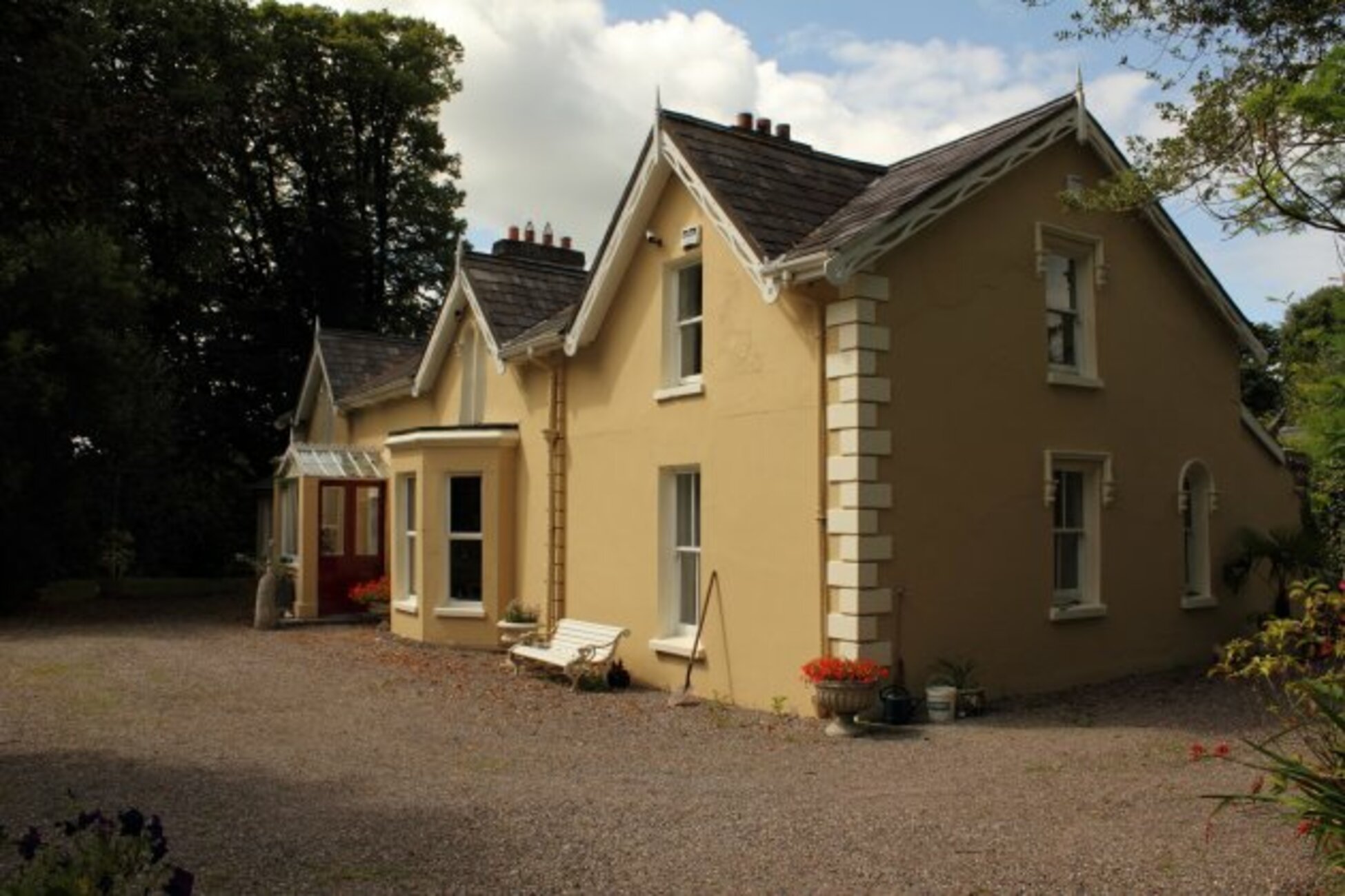 Man-made underground passage in KillumneyMan-made underground passage · 1689 yd
 Grange HillMountain / peak · 1.3 mi
 Charlie Hurley MemorialMemorial · 1.3 mi
 Graveyard in Carrigane (muskerry East By.)Graveyard · 2.0 mi
 Ballyburden Castle (Site of)Castle, unclassified · 2.6 mi
 Kilcrea Castle (in Ruins)Castle, tower house · 2.8 mi
 Kilcrea CastleWood · 2.8 mi
 Cave in Ballincollig (muskerry East By., Carrigrohane Par.)Cave · 3.3 mi
 Corbally Montessori & Early Years' Pre-schoolVisitor information · 3.4 mi