What is recorded here
Located the S end of a short NW-SE drumlin ridge. This is a circular grass-covered area (diam. 28.5m N-S; int. diam. 27m N-S) sloping down slightly to the S that is defined by an overgrown earthen bank (Wth of base 10-14m; Wth of top 1-1.5m; int. H 0.6m; ext. H 2.4-2.8m) with an outer fosse (Wth of top 4.8-5.6m; ext. D 0.4-0.6m), the outer edge of which is eroded. The original entrance and causeway are at SE, but there are other gaps at NE and SW. Field banks approach from NE, SE, SW and NW and are attached to the bank
The above description is derived from the published 'Archaeological Inventory of County Monaghan' (Dublin: Stationery Office, 1986). In certain instances the entries have been revised and updated in the light of recent research.
Date of revision: 28 June 2017
The monument record does not grant public access. Check the route and ask the landowner before entering private land.
- What survives
- Recorded monument
Places near here
 Drumerlough MoreMountain / peak · 1572 yd
 The Gleberectory/glebe/vicarage/curate's house · 1584 yd
 Chruch YardGraveyard · 1677 yd
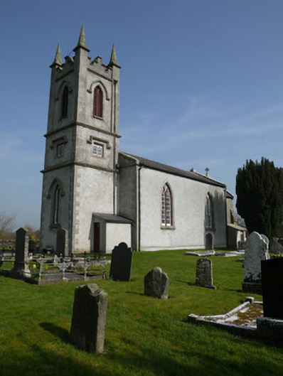 Saint Molua's Church (Magheracloone)church/chapel · 1694 yd
 Mass-rock in Camaghy,tonaneeveMass-rock · 1.0 mi
 Horse-chestnutHorse-chestnut · 1.0 mi
 Castle ruinsCastle, unclassified · 1.2 mi
 Giants GraveArchaeological place · 1.2 mi
 Natural Play AreaMemorial · 1.2 mi
 Dún a Rí Forest ParkForest · 1.3 mi
 CabraMountain / peak · 1.5 mi
 Castle in ruinsCastle, unclassified · 3.0 mi