What is recorded here
Located towards the top of the SSE-facing slope of a NW-SE drumlin ridge. It is depicted as a circular embanked enclosure (ext. diam. c. 35m) only on the 1834 edition of the OS 6-inch map where it is described in gothic lettering as a ‘fort’. A slight rise is detectable in pasture with farm building immediately to the SE.
Date of upload: 14 April 2011
The monument record does not grant public access. Check the route and ask the landowner before entering private land.
- What survives
- Recorded monument
Places near here
 farm housefarm house · 1300 yd
 Lisdrumturk fortFairy fort / earthen ringfort · 1351 yd
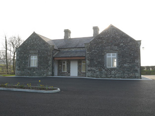 Corvally National Schoolschool · 1.1 mi
 Not inidicatedMan-made underground passage · 1.6 mi
 RaferaghMountain / peak · 1.7 mi
 NorthlandsWood · 2.6 mi
 Drumerlough MoreMountain / peak · 3.1 mi
 European BeechEuropean Beech · 3.5 mi
 Bawn in LisdrumskeaBawn · 3.7 mi
 Bush IslandIslet · 3.9 mi
 TobernagalliaghSpring · 4.0 mi
 Gull IslandIslet · 4.1 mi