
What is recorded here
Situated on the summit of a drumlin. This rath is depicted on McCrea’s map of Co. Monaghan (1793). It is an oval grass and scrub-covered area (dims 53m NNW-SSE; 40m ENE-WSW) defined by two overgrown earthen banks and fosses. The inner, round-topped, bank (Wth of base 7-8.5m; int. H 1.6-2m; ext. H 1.2-2m) has a slight berm or break in slope externally before an outer, flat-bottomed and water-logged fosse (Wth of top 11.5-15m; Wth of base 4m; ext. D 2-2.5m). The outer bank is wide and flat-topped (Wth of base 14m; Wth of top 5-8m; ext. H 1.2-2m). An outer fosse or drain (Wth of top 4m; Wth of base 2.5m; int. D 1.5m; ext. D 1.5m), separated from the outer bank by a slight berm or break in slope, survives SE-W-NNE (max. ext. diam. 110m NNW-SSE). The entrance through the inner (Wth of base 1.2m) and outer (Wth of base 3.1m) banks with a causeway (Wth of top 2m; H 1.4m) is at E. The interior has a number of quarry holes (D 1-1.2m), but one L-shaped depression inside the bank at NW could be a Man-made underground passage (MO030-008001-).
The above description is derived from the published 'Archaeological Inventory of County Monaghan' (Dublin: Stationery Office, 1986). In certain instances the entries have been revised and updated in the light of recent research.
Revised by: Michael Moore
Date of revision: 24 August 2017
The monument record does not grant public access. Check the route and ask the landowner before entering private land.
- What survives
- Recorded monument
Places near here
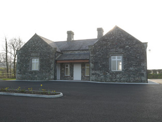 Corvally National Schoolschool · 1496 yd
 Corvally Presbyterian Churchchurch/chapel · 1524 yd
 RaferaghMountain / peak · 1.1 mi
 Hut site in RaferaghHut site · 1.2 mi
 Hilltop enclosure in RaferaghHilltop enclosure · 1.2 mi
 NorthlandsWood · 1.9 mi
 Drumerlough MoreMountain / peak · 2.7 mi
 Taghart South ForestForest · 3.0 mi
 Bawn in LisdrumskeaBawn · 3.1 mi
 Bush IslandIslet · 3.4 mi
 Gull IslandIslet · 3.6 mi
 Giants GraveArchaeological place · 4.2 mi
Other information
Photo: Credit not shown in the picture search · Rights wording not checked; contact us if this picture should be removed