What is recorded here
Situated on the summit of a NW-SE drumlin ridge. This is a raised oval and grass-covered area (dims 35.2m E-W; 27.6m N-S) defined by an overgrown earthen field bank SW-N, which is replaced by an overgrown stone wall elsewhere. Both forms of the perimeter are on an original scarp (H 1.1m at W to 2.5m at S), but there is no visible fosse. There is an entrance gap (Wth of base 2.7m) at SW.
The following description is derived from the published 'Archaeological Inventory of County Monaghan' (Dublin: Stationery Office, 1986). In certain instances the entries have been revised and updated in the light of recent research.
Date of revision: 24 August 2017
The monument record does not grant public access. Check the route and ask the landowner before entering private land.
- What survives
- Recorded monument
Places near here
 Lisdrumturk fortFairy fort / earthen ringfort · 516 yd
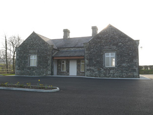 Corvally National Schoolschool · 1236 yd
 Corvally Presbyterian Churchchurch/chapel · 1259 yd
 RaferaghMountain / peak · 1.2 mi
 Hut site in RaferaghHut site · 1.4 mi
 NorthlandsWood · 2.1 mi
 Drumerlough MoreMountain / peak · 3.0 mi
 Bawn in LisdrumskeaBawn · 3.2 mi
 Sillan LakeshoreWood · 3.3 mi
 Bush IslandIslet · 3.4 mi
 Gull IslandIslet · 3.6 mi
 Giants GraveArchaeological place · 4.5 mi