What is recorded here
Located towards the bottom of a S-facing slope overlooking the basin of a canalised ESE-WNW stream that is c. 100m to the S. The cropmark of a circular enclosure (diam. c. 80m) defined by what might be the remains of an earthen bank is visible on vertical aerial photographs (GSIAP S 330/329). Nothing is visible at ground level in a harvested cereal crop.
Compiled by: Michael Moore
Date of upload: 31 May, 2012
Amended: 30 April, 2014
The monument record does not grant public access. Check the route and ask the landowner before entering private land.
- What survives
- Recorded monument
Places near here
 Fulacht fia in Moyne MiddleFulacht fia · 587 yd
 Fulacht fia in BallyorrillFulacht fia · 692 yd
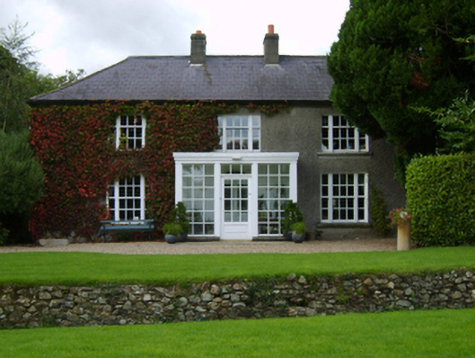 The Moynefarm house · 1286 yd
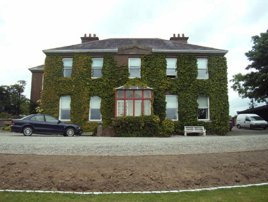 Blackstoops Housefarm house · 1.0 mi
 U.N. Peace MemorialMonument · 1.5 mi
 Duffry GateMemorial · 1.5 mi
 Battle of Vinegar HillMajor battlefield · 1.6 mi
 Battle of Vinegar Hill, 1798Monument · 1.8 mi
 Vinegar HillMountain / peak · 1.9 mi
 National 1798 CentreMuseum · 2.0 mi
 Daphney CastleCastle, unclassified · 2.0 mi
 CastleCastle, ringwork · 3.6 mi