What is recorded here
Situated on the summit of a large ridge running E-W, in pasture, with extensive views in all directions. Depicted on the revised 1910 ed. OS 25-inch map as an oval-shaped earthwork. Bivallate ringfort described in 1979 as an oval-shaped area (dims. 28m N-S; 26m E-W) enclosed by an inner bank, an intervening fosse and a possible outer bank. The inner bank is high and steep on the exterior where it is best preserved from SSE-S-W-N-NNE and is almost reduced to a scarp elsewhere. A V-shaped intervening fosse survives from NNW-N-NNE and is infilled elsewhere. A short stretch of a low, broad earthen outer bank is present from NNW-N-NNE and may be a later feature. The bank has been eroded by livestock at SW and W and a gap at SW seems to be due to disturbance. The site has suffered considerable disturbance during relatively recent land clearance works. A number of large limestone boulders have been deposited around the perimeter at NNW and from NNE-E-S-SSW. The perimeter has been badly defaced by these deposits at E. There is no sign of an original entrance. The interior has a N-facing slope and the surface is quite uneven. There is a house site (WM030-037001-) in the SE quadrant and a low sod-covered mound on the interior of the bank at SW, which is of unknown significance. Monument is visible today as a roughly oval-shaped scrub-covered earthwork in the grounds of Mount Temple Golf Course on Digital Globe aerial photography.
Compiled by Alison McQueen, Vera Rahilly and Caimin O’Brien.
Date of upload: 08 November 2019
A bivallate earthen ringfort situated on a prominent ridge in Mount Temple, likely dating to the early medieval period. It is locally known as a fairy fort and is associated with traditional beliefs in faerie activity, common to such sites in Irish folklore.
The monument record does not grant public access. Check the route and ask the landowner before entering private land.
- What survives
- Recorded monument
Places near here
 CastleCastle, unclassified · 405 yd
 Fooran WellHoly well · 461 yd
 Corpus Christi Catholic Churchchurch/chapel · 614 yd
 Site of R.C. ChapelChurch · 709 yd
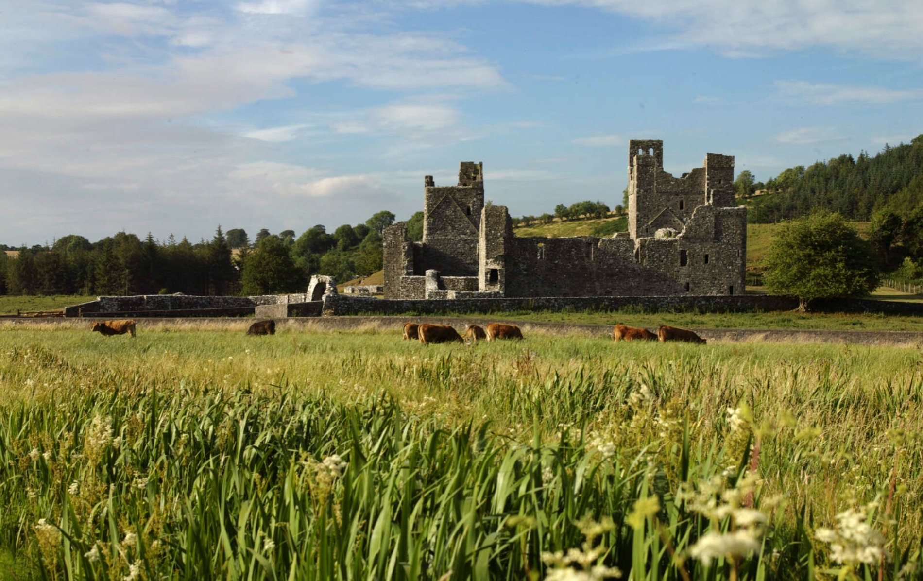 IndicatedCastle, motte and bailey · 713 yd
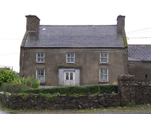 Nahod Beag Househouse · 1.3 mi
 Dún na Sí Heritage CentreMuseum · 2.5 mi
 Dún na SíMuseum · 2.6 mi
 Charles BianconiMemorial · 3.3 mi
 Moate HillMountain / peak · 3.5 mi
 Temple's IslandIslet · 5.3 mi