What is recorded here
Situated on top of a small hill, in undulating pasture, with extensive views to N, E and W and overlooked by higher ground to S. Annotated ‘Grinan Fort’ on the 1837 OS Fair Plan map. Depicted on the revised 1910 ed. OS 25-inch map as an oval-shaped earthwork. Monument described in 1979 as a subcircular-shaped area (dims. 26m N-S; 24m E-W) defined by an earth and stone scarp with a steep natural slope beyond it. The scarp is well preserved from NE-E-S-W-N and is poorly preserved from N-NE. There are no indications of an external fosse or an entrance. A modern field fence runs roughly NE-WS along the outer edge of the monument at SE. The interior rises gently from the perimeter to the centre and the surface is very uneven. There is a large irregular-shaped disturbance depression occupying most of the S half. Monument is visible today on Digital Globe aerial photography as a roughly oval-shaped tree-planted earthwork.
Compiled by Alison McQueen, Vera Rahilly and Caimin O’Brien.
Date of upload: 08 November 2019
A fairy fort or earthen ringfort in Mount Temple, likely dating to the early medieval period, is situated on a small hill with extensive views and was annotated as "Grinan Fort" on the 1837 OS Fair Plan map. Local tradition associates such sites with fairy lore, and they were often considered places of supernatural significance in Irish folklore.
The monument record does not grant public access. Check the route and ask the landowner before entering private land.
- What survives
- Recorded monument
Places near here
 Fooran WellHoly well · 255 yd
 Corpus Christi Catholic Churchchurch/chapel · 735 yd
 CastleCastle, unclassified · 744 yd
 Site of R.C. ChapelChurch · 1036 yd
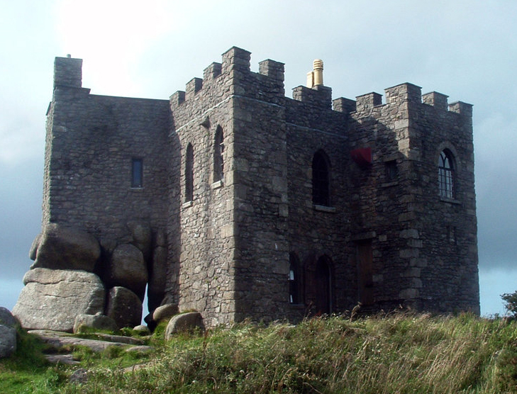 Carn CastleCastle, tower house · 1477 yd
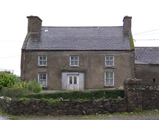 Nahod Beag Househouse · 1.1 mi
 Dún na Sí Heritage CentreMuseum · 2.8 mi
 Dún na SíMuseum · 2.8 mi
 Charles BianconiMemorial · 3.6 mi
 Moate HillMountain / peak · 3.7 mi
 Temple's IslandIslet · 4.9 mi