What is recorded here
On a low E-W ridge in pasture. Depicted as a subcircular, tree-planted enclosure with the designation 'Fort' on the 1837 ed. of the OS 6-inch map. All that survives is a low, dome-shaped mound of earth and stone (diam. c. 22m; H 0.8-0.9m). A report in 1976 (SMR file) recorded a shallow external fosse; it is no longer visible at ground level.
Compiled by: Patrick F. O'Donovan
Date of upload: 17 November 2011
The monument record does not grant public access. Check the route and ask the landowner before entering private land.
- What survives
- Recorded monument
Places near here
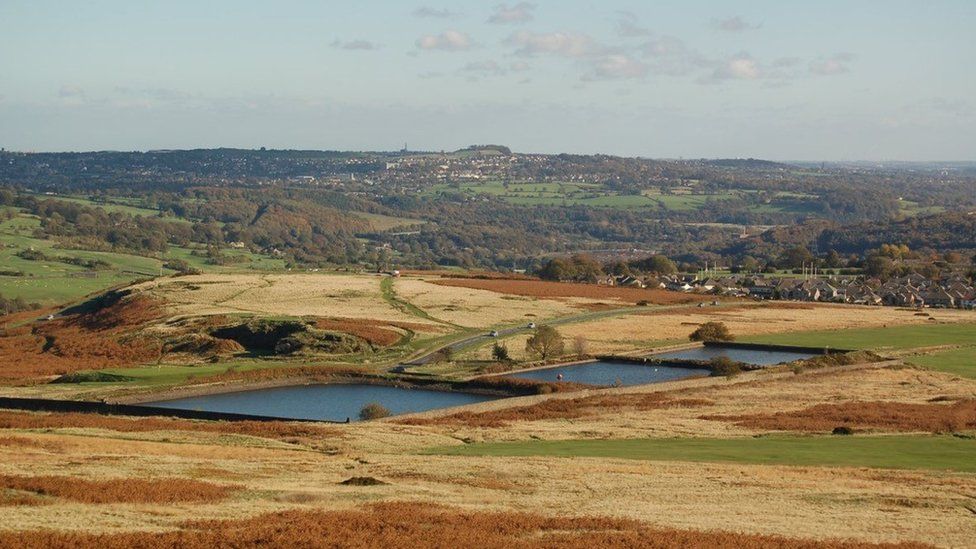 Enclosure in MoorEnclosure · 255 yd
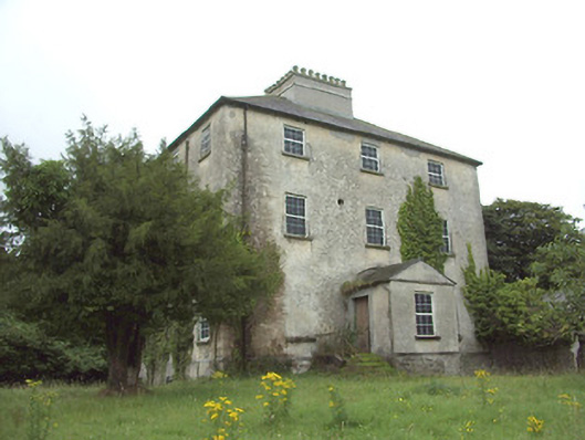 The Rectoryrectory/glebe/vicarage/curate's house · 494 yd
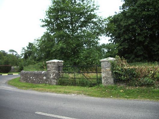 demesne walls/gates/railingsdemesne walls/gates/railings · 608 yd
 IndicatedFairy fort / earthen ringfort · 614 yd
 Druming Ho. (in ruins)Castle, unclassified · 1441 yd
 Ardagh DemesneFort · 1523 yd
 Oldtown CopseWood · 1.7 mi
 Oldtown DemesneForest · 1.8 mi
 National Famine WayWalking route · 2.5 mi
 Graveyard in Curry (ardagh By., Coolamber Ed)Graveyard · 5.0 mi
 First World War MemorialMemorial · 5.5 mi
 Saint Mel's CathedralCathedral · 5.5 mi