What is recorded here
In pasture, on S-facing slope, in area of outcropping limestone. Site is depicted as embanked circular enclosure on 1841 OS 6-inch map but with bank replaced by field boundary NW->SE on 1923 OS 6-inch map. Now evident as roughly circular area (27.1m N-S; 28.3m E-W) enclosed by earth-and-stone bank (int. H 0.6m; ext. H 0.75m) SE->NNW and defined by scarped edge (H 0.75m; Wth 3m) NNW->SE. Dry-stone field wall runs along top of scarp NNW-> ENE and E->ESE; this is part of surrounding field boundary system. Scarp worn down by cattle ESE->SE. Ruin of a stone wall (H 0.35m) runs atop bank SSE->SSW. Interior, under rough pasture, slopes down to S.
Compiled by: Denis Power
Date of upload: 26 August 2011
The monument record does not grant public access. Check the route and ask the landowner before entering private land.
- What survives
- Recorded monument
Places near here
 Ballynash CastleCastle, unclassified · 1459 yd
 Sunday WellsHoly well · 1660 yd
 Court BrownArchaeological place · 1754 yd
 Mill (in ruins)Mill, unclassified · 1.0 mi
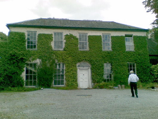 Ballysteen Housecountry house · 1.1 mi
 Tomdeely CastleCastle · 1.4 mi
 Greenish IslandIslet · 1.6 mi
 Courtbrown PointHeadland · 1.6 mi
 Askeaton CastleHeritage attraction · 1.6 mi
 Holly IslandIslet · 1.7 mi
 Herring RockNamed rock · 3.0 mi
 European YewEuropean Yew · 4.3 mi