
What is recorded here
In rough pasture, on E side of fast-flowing stream through limestone area. Depicted on 1st ed. 1841 OS 6-inch map as "mill in ruins". No visible surface trace evident; area heavily masked by vegetation cover.
Compiled by: Denis Power
Date of upload: 26 August 2011
The monument record does not grant public access. Check the route and ask the landowner before entering private land.
- What survives
- Recorded monument
Places near here
 Sunday WellsHoly well · 778 yd
 Enclosure in Ballyengland LowerEnclosure · 1565 yd
 Stewick Housecountry house · 1.1 mi
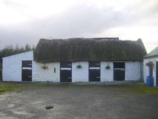 stablesstables · 1.1 mi
 Askeaton CastleHeritage attraction · 1.6 mi
 Ballynash CastleCastle, unclassified · 1.9 mi
 Tomdeely CastleCastle · 2.2 mi
 Holly IslandIslet · 2.6 mi
 Greenish IslandIslet · 2.6 mi
 Courtbrown PointHeadland · 2.7 mi
 European YewEuropean Yew · 3.3 mi
 Curraghchase Forest ParkForest · 3.3 mi
Other information
Photo: Credit not shown in the picture search · Rights wording not checked; contact us if this picture should be removed