What is recorded here
No visible mound or ditch remains, yet the lost ringfort still holds the memory of a fortified life on the SE slope of a low ridge in Lissameen. It was large enough to be marked as a Fort on the 1837 OS 6-inch map, and a NE-SW trackway cut through it at ENE and WSW. The land has been levelled, but the shape is not forgotten: a circle of residence, defence or claim, made human by the people who walked its edge before the pasture erased it.
On the SE slope of a low ridge in pasture. Depicted as a circular enclosure with the designation 'Fort' on the 1837 ed. of the OS 6-inch map and cut by a NE-SW running trackway at ENE and WSW. The monument has been levelled and is not visible at ground level.
Compiled by: Patrick F. O'Donovan
Date of upload: 15 February 2012
The monument record does not grant public access. Check the route and ask the landowner before entering private land.
- What survives
- Recorded monument
Places near here
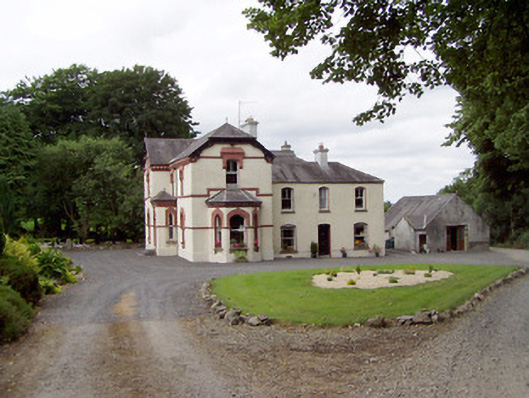 Corbeagh Househouse · 1197 yd
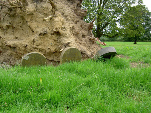 Currygrane Housepet cemetery · 1364 yd
 Round IslandCrannog · 1380 yd
 Frys IslandCrannog · 1562 yd
 Moat & CastleCastle, motte and bailey · 1.4 mi
 Ballinalee Forest WalkForest · 1.8 mi
 Bawn in CurrycahillBawn · 2.0 mi
 Bully's Acregraveyard/cemetery, unknown · 2.1 mi
 Clonfin Ambush MemorialMemorial · 3.2 mi
 Cloonfin WoodForest · 3.4 mi
 Edgeworthstown BypassMemorial · 4.2 mi
 Granard MotteMotte-and-bailey castle remains · 6.8 mi