What is recorded here
In improved pasture, on a very gentle SSE-facing slope. The remains of a circular area (dims. 30m E-W; 28m N-S) defined by scarp (Wth 7m; H 0.55m) best preserved in the N quadrant and from E-S-SW and the remains of a fosse (basal Wth 4.5m; overall Wth 12.5m; D 0.15m) in the SW sector. There are the possible remains of a levelled bank (Wth at top 5.5m; overall Wth 11.5m; int. H 0.15m; ext. H 0.1m) in the SW sector. The interior is generally level. There is a poorly drained area around the exterior in the N quadrant. The monument has the appearance of a low, flat-topped mound and is incorporated into the field as pasture. According to NMI Acquisitions Register (1978) 3 pot sherds (NMI 1978:141-3), 3 pieces of iron slag (NMI 1978:144) and iron objects (NMI 1978:145-6) were recovered from the plough soil of this ringfort.
Compiled by: Jean Farrelly
Date of upload: 26 August 2011
The monument record does not grant public access. Check the route and ask the landowner before entering private land.
- What survives
- Recorded monument
Places near here
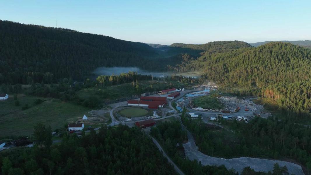 Enclosure in LissadoberEnclosure · 751 yd
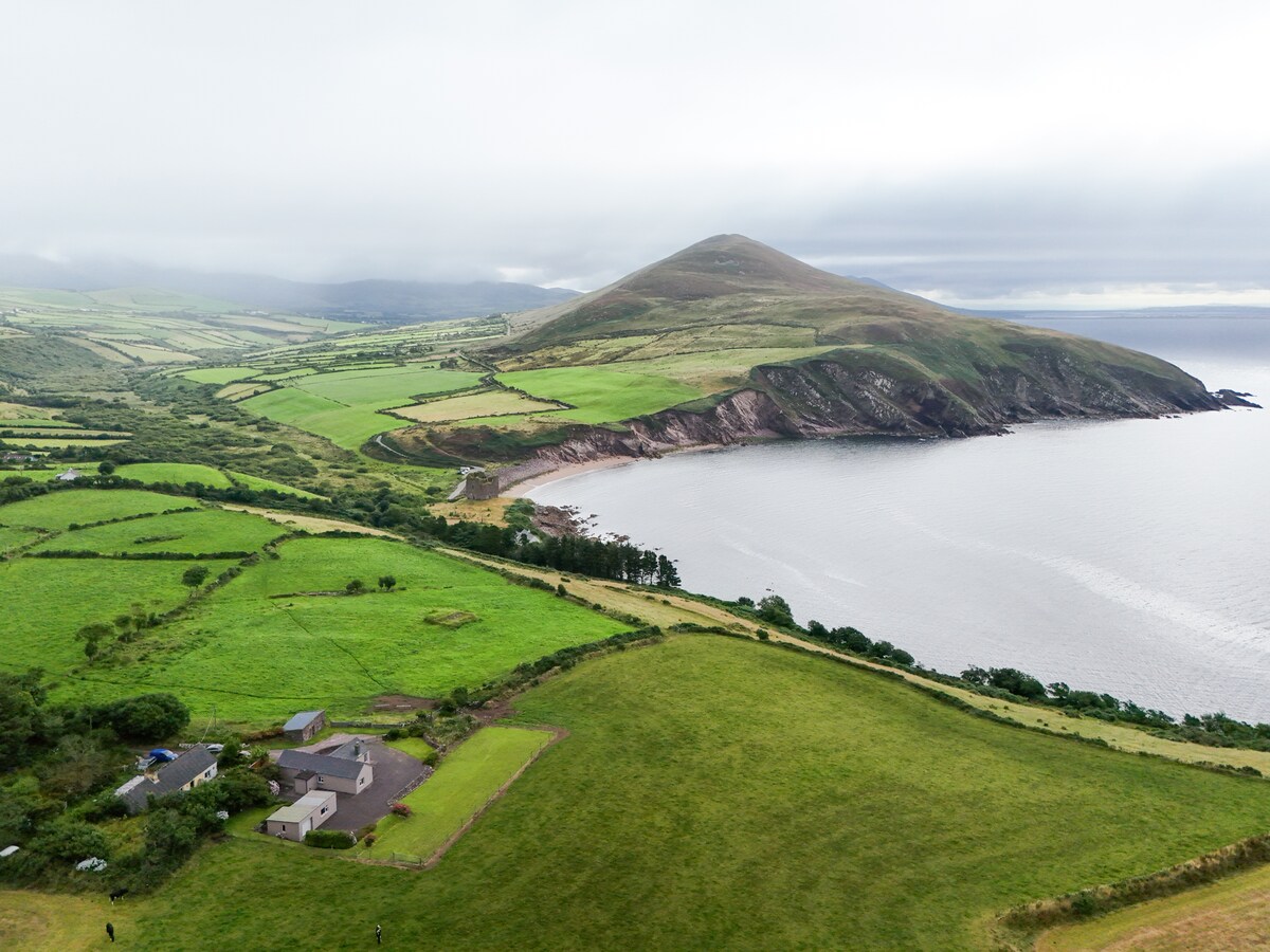 IndicatedEnclosure · 1090 yd
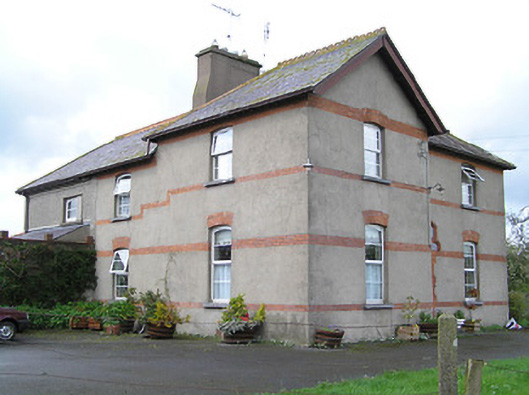 Ballyneill Castlehouse · 1177 yd
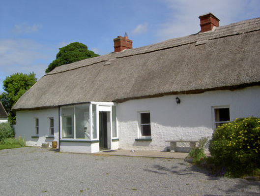 Ballynacloona Cottagehouse · 1242 yd
 Wild CherryWild Cherry · 1515 yd
 Thomas KielyMemorial · 1.1 mi
 Curraghdobbin HillMountain / peak · 1.2 mi
 Bawn in KilcashBawn · 1.8 mi
 Kilcash WoodForest · 1.8 mi
 CastleCastle, ringwork · 1.9 mi
 Carrigaloe RockNamed rock · 2.5 mi
 Carrigadoon HillMountain / peak · 3.0 mi