What is recorded here
On a gentle SE-facing slope in low-lying pasture. A report in 1977 (SMR file) recorded a raised almost circular area (c. 35m N-S; c. 34m E-W) enclosed by a low bank of earth and stone with an external fosse. The original entrance was not recognisable. The rath is no longer visible at ground level.
Compiled by: Patrick F. O'Donovan
Date of upload: 26 August 2011
The monument record does not grant public access. Check the route and ask the landowner before entering private land.
- What survives
- Recorded monument
Places near here
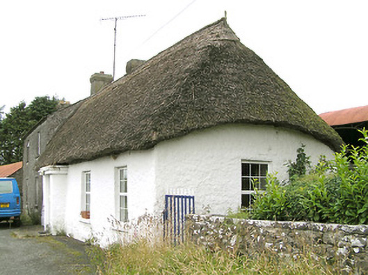 Moore's Townhouse · 1016 yd
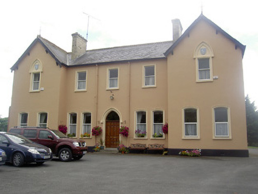 Saint Elizabeth's Conventconvent/nunnery · 1237 yd
 Bull RingFairy fort / earthen ringfort · 1661 yd
 IndicatedFairy fort / ringfort · 1.0 mi
 Edgeworthstown BypassMemorial · 1.1 mi
 CastleCastle, ringwork · 1.3 mi
 RuinsCastle, unclassified · 1.3 mi
 Ballinalee Forest WalkForest · 4.8 mi
 Bully's Acregraveyard/cemetery, unknown · 5.2 mi
 Granard MotteMotte-and-bailey castle remains · 6.3 mi
 1798 Monumentmonument · 6.4 mi
 Graveyard in Curry (ardagh By., Coolamber Ed)Graveyard · 9.0 mi