What is recorded here
Fairy forts are a misnomer. Human hands built them, probably for housing or stock, yet the name has stuck because the shapes are small enough to believe magic touched them. This one sits on a drumlin crest in Monaghan, its earthen bank still standing despite a field boundary cutting through and a quarry biting into the north-west side. The dimensions are modest, twenty-eight metres at most, but the bank resists erasure. People forgot the purpose and invented fairy instead. Forgetting is not the same as losing. The shape still excludes rain, marks territory and resists the claim that nothing happened there.
Situated at the crest of the S-facing slope of a drumlin. This is a D-shaped grass and scrub-covered area (dims c. 28m NE-SW; 13m NW-SE) defined by an earthen bank (at NW: Wth of base 4.6m; int. H 1m; ext. H 1.7m) SW-NW-NE, and an outer fosse (at NW: Wth of base 2m; ext. D 0.3m) S-NW. A NE-SW field bank and townland boundary with Lisdrumturk to the SE bisects the monument and the perimeter is barely traceable SE of this feature. There is an old quarry inside the bank at NW.
The above description is derived from the published 'Archaeological Inventory of County Monaghan' (Dublin: Stationery Office, 1986). In certain instances the entries have been revised and updated in the light of recent research.
Date of revision: 24 August 2017
The monument record does not grant public access. Check the route and ask the landowner before entering private land.
- What survives
- Recorded monument
Places near here
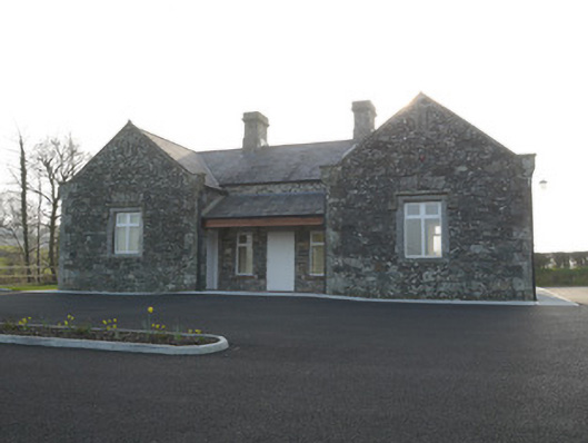 Corvally National Schoolschool · 370 yd
 Corvally Presbyterian Churchchurch/chapel · 401 yd
 Lisdrumturk fortFairy fort / earthen ringfort · 1153 yd
 RaferaghMountain / peak · 1542 yd
 Hut site in RaferaghHut site · 1.2 mi
 NorthlandsWood · 2.2 mi
 Bawn in LisdrumskeaBawn · 2.7 mi
 Sillan LakeshoreWood · 2.7 mi
 Bush IslandIslet · 2.9 mi
 Gull IslandIslet · 3.1 mi
 CarrickcreenyMountain / peak · 3.3 mi
 Giants GraveArchaeological place · 4.7 mi