What is recorded here
Situated on a gentle N-facing slope in undulating pasture overlooked to NE by Knockea Hill. Indicated with hachures on the 1924 OS 6-inch map as the SW arc of a bank and external fosse. The bank (int. H 0.4m; Wth. 2.40m; H 2m) is flat-topped with a steep internal edge. The fosse (Wth. 3.85m; D 1.65m, ) is flat-bottomed with steep sides. In the S the fosse is wider and shallower (ext. D 0.5m;Wth. 7m) and the bank is slightly smaller (Wth. 1.8m; ext. H 0.3m; int. H 0.35m).
The monument record does not grant public access. Check the route and ask the landowner before entering private land.
- What survives
- Recorded monument
Places near here
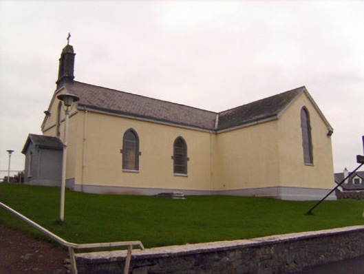 Saint Patrick's Catholic Churchchurch/chapel · 621 yd
 MillMill, unclassified · 739 yd
 Lickadoon Castle (in ruins)Castle, tower house · 842 yd
 Burial ground in KnockeaBurial ground · 999 yd
 Not indicated, 394 ft. ODSettlement cluster · 1006 yd
 Bawn in Raheen (clanwilliam By., Roxborough Ed)Bawn · 1716 yd
 ToberauillinSpring · 1.6 mi
 Campus MapVisitor information · 4.8 mi
 Visitor CentreVisitor information · 4.8 mi
 Fountain SculptureHeritage attraction · 4.9 mi
 King's IslandIsland · 5.2 mi
 Graveyard in AbingtonGraveyard · 6.9 mi