What is recorded here
One chamber hall, not a whole fortress, yet large enough to swallow a room and every person standing inside it. The measured facts leave no gap for argument: a circular hall, an entrance, a central hearth or marker, and a boundary bank. The fairy name may be doing real work, because the shape resists ordinary explanation and invites people to imagine what it was for.
The following description is derived from both the published 'Archaeological Inventory of County Louth' (Dublin: Stationery Office, 1986) and the 'Archaeological Survey of County Louth' (Dublin: Stationery Office, 1991). In certain instances the entries have been revised and updated in the light of recent research.
Date of upload/revision: 17 July 2007
Circular area (int. diam. 20.5m) enclosed by earth and stone bank (Wth 3.5m, H 0.4-1.6m) with external fosse (Wth 3.5m, D 0.9m). Ancient entrance gap (Wth 2m) at E. Circular hut site (LH005-021002-) (diam. 5.5m) defined by earth and stone bank (H 0.1-0.4m) at centre of interior. Just inside the entrance to the site is a pointed, upright boulder of unknown significance.
The monument record does not grant public access. Check the route and ask the landowner before entering private land.
- What survives
- Recorded monument
Places near here
 Holy well in Liberties OF CarlingfordHoly well · 462 yd
 Carlingford - Slieve Foye LoopWalking route · 1192 yd
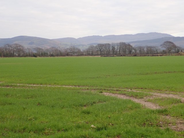 Slieve Foye North-West TopMountain / peak · 1252 yd
 Slieve FoyeMountain / peak · 1581 yd
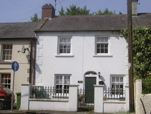 Kendal Cottagehouse · 1.1 mi
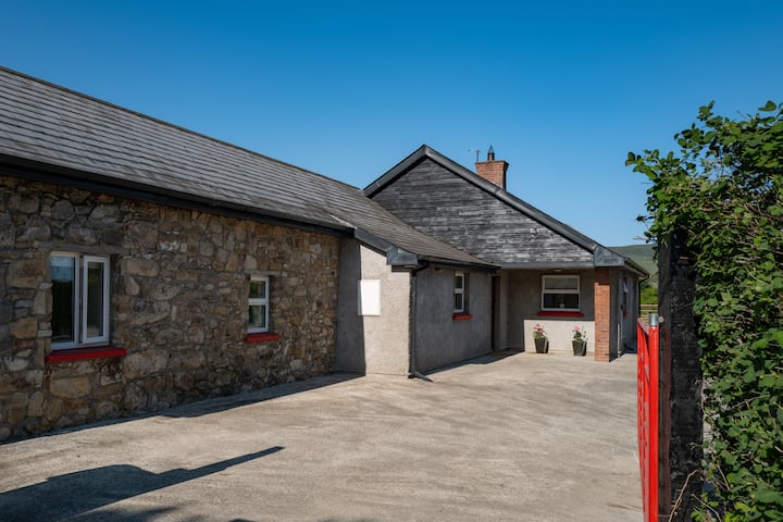 Hut site in BallyonanHut site · 1.1 mi
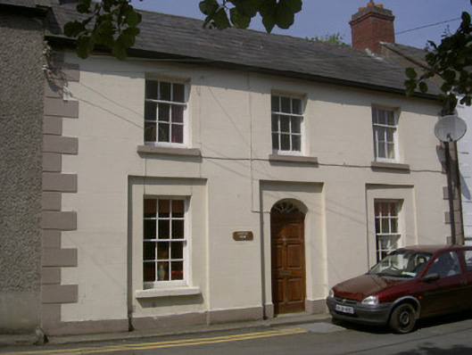 Castle Viewhouse · 1.2 mi
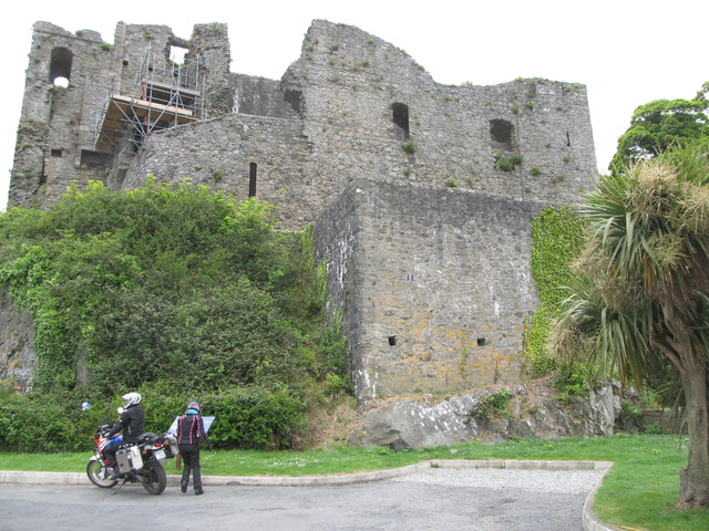 King Johns Castle in ruinsCastle, Anglo-Norman masonry castle · 1.2 mi
 Carlingford CastleHeritage attraction · 1.2 mi
 CastleCastle, tower house · 1.2 mi
 Carlingford LoughSea lough and mountain landscape · 1.3 mi
 Carlingford - Loop 1A- Commons LoopWalking route · 1.4 mi