What is recorded here
No fort exists there now. The land swallowed the wall, killed the men inside, and took back the shape. What remains is a hidden chamber waiting for someone strong enough to break through.
Marked 'Fort' on OS 1836 and 1876 eds. Situated on the W shoulder of a drumlin ridge. No visible remains at ground level.
The above description is derived from the published 'Archaeological Inventory of County Cavan' (Dublin: Stationery Office, 1995). In certain instances the entries have been revised and updated in the light of recent research.
Date of upload/revision: 22 December 2008
The monument record does not grant public access. Check the route and ask the landowner before entering private land.
- What survives
- Recorded monument
Places near here
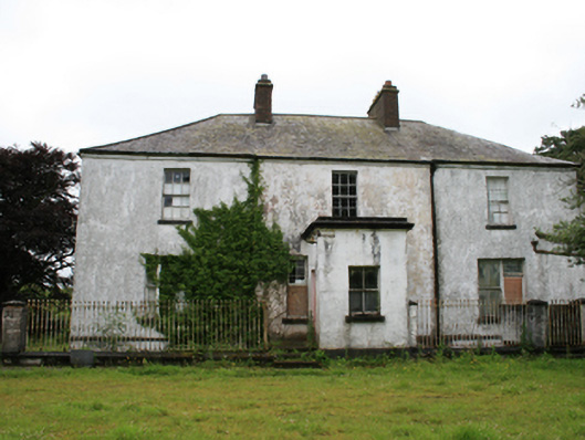 rectory/glebe/vicarage/curate's houserectory/glebe/vicarage/curate's house · 767 yd
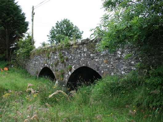 Wilton Bridgebridge · 998 yd
 Tullynaskeagh WestForest · 1476 yd
 Tullynaskeagh EastForest · 1580 yd
 CastleCastle, motte · 1655 yd
 Blackhills LowerMountain / peak · 1.1 mi
 CarnagarveMountain / peak · 1.6 mi
 MoatCastle, motte and bailey · 1.8 mi
 EnclosureEnclosure, large enclosure · 1.8 mi
 Grave YardGraveyard · 1.9 mi
 In Memory of Patrick KiernanMemorial · 2.3 mi
 Brothers GravesVisitor information · 2.4 mi