What is recorded here
Leganamer holds a broken earthen ring on a drumlin knoll, marked by a complete fosse and a modern southern entrance. The bank survives only along the north-east, leaving the rest of the circle exposed to rain, grass and memory. It is small enough to walk across in a minute, yet its shape still suggests a place set apart for living, keeping or pretending to be someone else.
Situated on a knoll towards the bottom of the N-facing slope of a drumlin. This is a grass-covered circular area (int. dims 20m N-S; 20m E-W) defined by an earthen bank (Wth 6m; int. H 1m; ext. H 0.9-1.6m) which survives only NW-NE, and a complete fosse (Wth of top 8-9.5m; Wth of base 3-5m; int. D 0.1-0.3m) with an overgrown outer bank which is best preserved S-W-N (Wth 2.5-5m; ext. H 1.5-1.8m). There is a modern entrance (Wth 2m) at S, which may be on the site of the original entrance.
The above description is derived from 'The Archaeological Inventory of County Leitrim' compiled by Michael J. Moore (Dublin: Stationery Office, 2003). In certain instances the entries have been revised and updated in the light of recent research.
Date of upload: 23 September 2008
The monument record does not grant public access. Check the route and ask the landowner before entering private land.
- What survives
- Recorded monument
Places near here
 LisroughtyFairy fort / earthen ringfort · 817 yd
 IndicatedEnclosure · 1.1 mi
 DrumgownaghMountain / peak · 1.1 mi
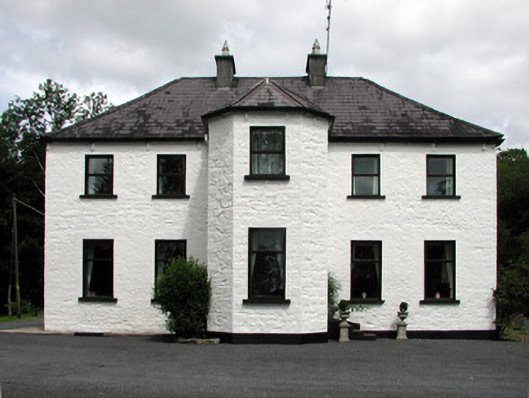 Corduff Househouse · 1.3 mi
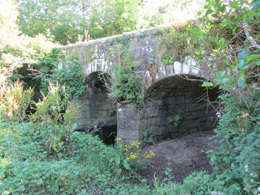 Bonebrook Bridgebridge · 1.6 mi
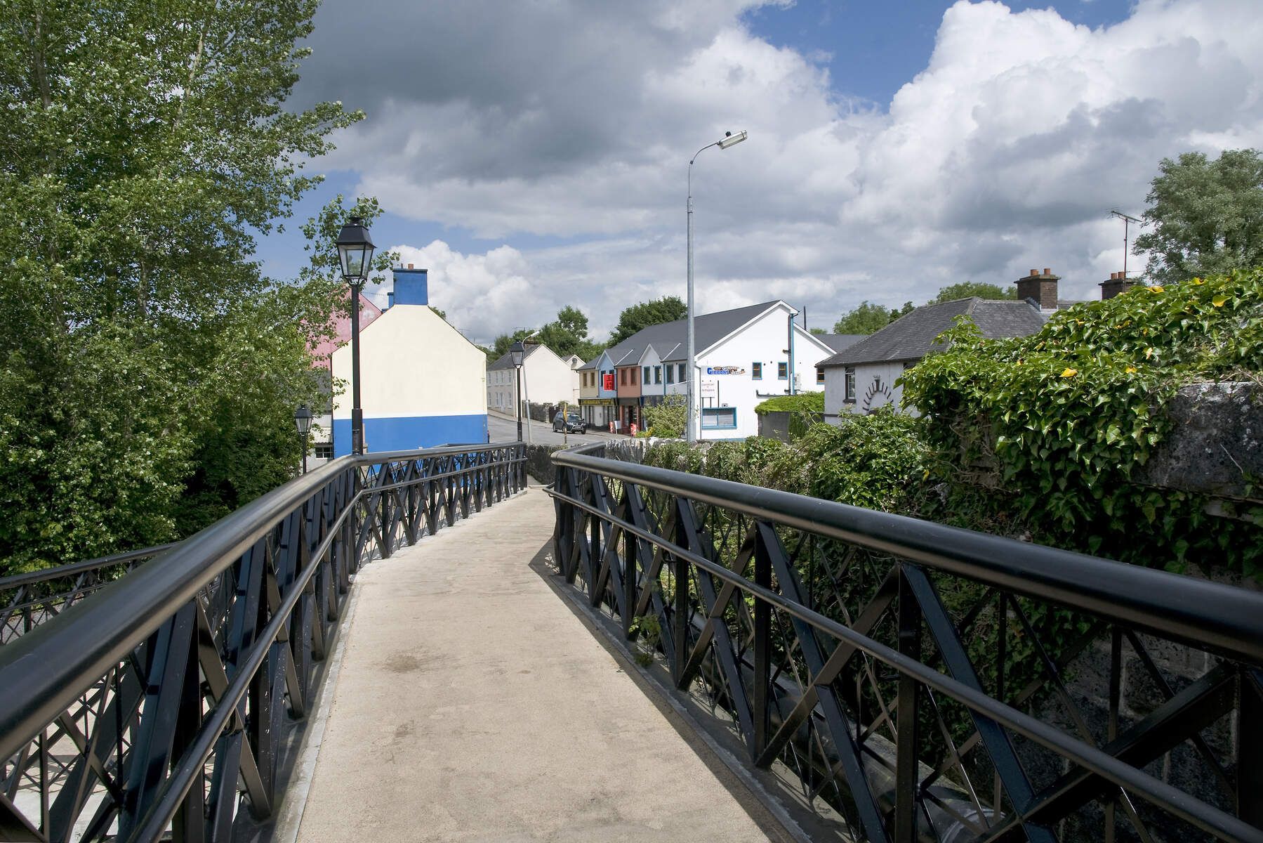 DerrinivverMountain / peak · 1.7 mi
 Cornagunleog ForestForest · 1.9 mi
 Owengallees WoodlandForest · 2.8 mi
 Bawn in Cherry IslandBawn · 3.3 mi
 Cherry IslandIslet · 3.3 mi
 CastleCastle, ringwork · 3.4 mi
 Swan Island pet farmHeritage attraction · 3.4 mi