What is recorded here
Situated towards the bottom of a gentle N-facing slope c. 100m S of a WNW-ESE section of the Blackwater River. It is described as a 'fort', although not depicted, on the 1835 edition of the OS 6-inch map. This is a circular overgrown area (diam. 31m NW-SE; 29m NE-SW) defined by an earthen bank (Wth 1-2m; H 1m), which is incorporated into a field bank E-S-N but reduced to a scarp (H 0.5m) elsewhere. There is no visible fosse and an original entrance is not identified. Moore (Dublin: Stationery Office, 2003).
Situated towards the bottom of a gentle N-facing slope c. 100m S of a WNW-ESE section of the Blackwater River. It is described as a 'fort', although not depicted, on the 1835 edition of the OS 6-inch map. This is a circular overgrown area (diam. 31m NW-SE; 29m NE-SW) defined by an earthen bank (Wth 1-2m; H 1m), which is incorporated into a field bank E-S-N but reduced to a scarp (H 0.5m) elsewhere. There is no…
From the National Monuments Service (Archaeological Survey of Ireland) record LE022-001
The monument record does not grant public access. Check the route and ask the landowner before entering private land.
- What survives
- Recorded monument
Places near here
Photo credits
- National Inventory of Architectural Heritage
- Alvesgaspar, Wikimedia Commons · CC BY-SA 3.0
- Christian Pirkl, Wikimedia Commons · CC BY-SA 3.0 at
- Kenneth Allen, Wikimedia Commons · Creative Commons Attribution-ShareAlike 2.0
- Kenneth Allen, Geograph · CC BY-SA 2.0
- Oliver Dixon, Geograph · Creative Commons Attribution-ShareAlike 2.0
- Jonathan Billinger, Wikimedia Commons · CC BY-SA 2.0
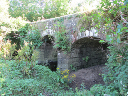 Bonebrook BridgeBridge · 1127 ydLisroughtyFairy fort / earthen ringfort · 1677 ydDerrinivverMountain / peak · 1.1 mi
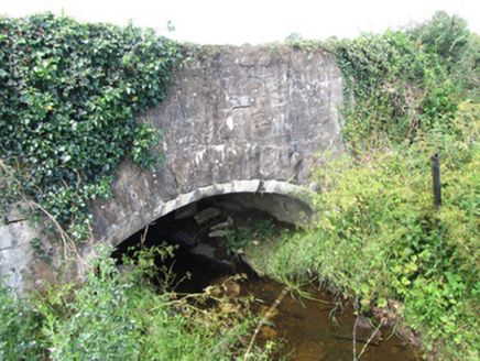 County BridgeBridge · 1.5 mi
 Common Lime2.8 mi
 Sycamore2.8 miSaint Mogue's IslandIslet · 3.0 miGiants GraveArchaeological place · 3.2 mi
 IndicatedCastle, tower house · 3.3 mi
 Killycluggin StoneVisitor information · 4.5 mi
 IndicatedGraveyard · 4.6 mi
 Slieve RushenMountain / peak · 6.0 mi
More archaeology and monuments in County Leitrim · All of County Leitrim
What do you know about this place?