What is recorded here
Situated on generally level ground, in well-drained pasture, with good views to NW, N and NE. Monument described in 1971 and 1976 as an unusually large, roughly circular-shaped area (diam. 60m) enclosed by a substantial earthen bank and the remains of an external fosse. The wide inner bank (H 1.5m) is best preserved at S and elsewhere it is much lower (H 0.75m-1m), being reduced to a scarp from NNE-E. Traces of a shallow external fosse are visible in places. The bank and fosse have been completely levelled at SW. The original entrance is not recognisable. An earthen field fence runs immediately outside the bank at NW. The interior has a gentle S-facing slope and is bisected by a modern field bank running NW-SE.
Compiled by: Alison McQueen, Vera Rahilly and Caimin O’Brien
Date of upload: 15 July 2019
The monument record does not grant public access. Check the route and ask the landowner before entering private land.
- What survives
- Recorded monument
Places near here
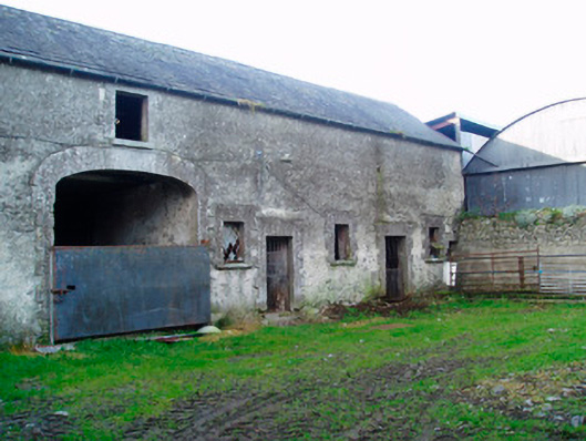 Lackan Lodgeoutbuilding · 282 yd
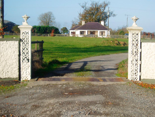 Lacken Lodgegates/railings/walls · 431 yd
 Kilfaughny CastleCastle · 839 yd
 OutlinedFairy fort / earthen ringfort · 905 yd
 IndicatedCrannog · 1162 yd
 Ballynakill CastleCastle · 1.1 mi
 Killinure BayBay · 2.7 mi
 Traveen BayBay · 2.9 mi
 Portlick Millennium ForestWood · 3.0 mi
 Temple's IslandIslet · 3.2 mi
 Noughaval CemeteryArchaeological place · 3.3 mi
 IllanheelanIslet · 3.4 mi