What is recorded here
Knockenancrohy holds a broken ring of earth nineteen metres wide, its low bank and shallow ditch still marking a home built before written memory. The gaps in the north and south suggest people entered and left deliberately rather than the wall collapsing accidentally. It is easy to imagine children running through those openings while adults worked the rolling pasture, unaware they were shaping a landscape that would outlive every name they spoke.
In rolling pasture. Circular area (19.7m NE-SW; 19.3m NW-SE) enclosed by earthen bank (H 1.6m); external fosse (D 0.8m) NNE->SW. Gap in bank to Nand SW.
The above description is derived from the published 'Archaeological Inventory of County Cork. Volume 1: West Cork' (Dublin: Stationery Office, 1992). In certain instances the entries have been revised and updated in the light of recent research.
Date of upload/revision: 14 January 2009
The monument record does not grant public access. Check the route and ask the landowner before entering private land.
- What survives
- Recorded monument
Places near here
 Kilmacabea Ch. (Site of)Church · 727 yd
 Abbey Mounthouse · 836 yd
 rectory/glebe/vicarage/curate's houserectory/glebe/vicarage/curate's house · 893 yd
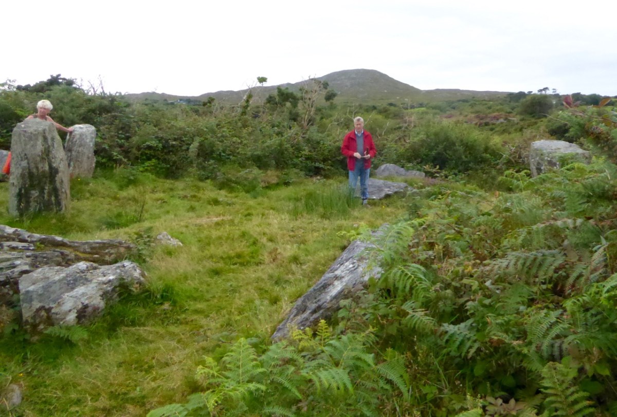 Boulder-burial in Ballyroe (carbery E. (w.d.) By.)Boulder-burial · 973 yd
 Leap waterfallHeritage attraction · 1.2 mi
 William Thompson MemorialMemorial · 1.6 mi
 Sitka SpruceSitka Spruce · 1.7 mi
 Myross PointHeadland · 1.8 mi
 Bláth na GréineWood · 1.9 mi
 Wild Atlantic WayVisitor information · 2.0 mi
 Walk 1 - Drombeg Standing Stone Circle (7 - 9 km)Walking route · 2.3 mi
 Coastguard StationRuins · 2.5 mi