What is recorded here
Knockainy West holds a sixty-metre earthen ring on its highest shoulder, where a broad ditch still cuts the grass and a solid bank rises two metres above the inside floor. The eastern entrance remains open, inviting entry into a hollow space that may have served medieval people before memory faded. Westropp called it the Síd of Eoghabal or Dun Cliach, but those names belong to story rather than proof. The chamber itself offers no chamber, no hearth, no marker, only scale and silence on the hilltop.
Described by O'Kelly (1944, 22) as following; 'A circular platform with a bank at its edge. The W. half has been partially levelled. Westropp gives its measurements as 108' [33m] E-W and 125' [38m] N-S, but in fact the monument is circular and the overall diameter is 190' [58m]. The entrance seems to have been on the E. side where the fosse is causewayed. The max. height of the bank over the fosse-bottom is about 15' [4.5m]. It is situated on the highest point of the west shoulder of Knockainy. Westropp on insufficient evidence identifies it as the Síd of Eoghabal or the fort called Dun Cliach repaired by Brian Boru'.
In 2004 this monument was described as following; 'This circular earthen feature crowns the summit of the western side of the hill. It has a maximum diameter of 60m east-west. A substantial bank survives to a height of approximately 2m above interior ground level on the northern and southern sides. It is 8m wide at the north, composed of a mixture of earth and stone. The enclosing ditch averages 8m in width and is up to 1.5m deep. A 7m-wide entrance occurs on the eastern side. A field boundary traverses the interior of the monument, which is otherwise featureless. The size and proportions of this site suggest that it may be a ringwork dating from the medieval period' (Condit and Coyne 2004).
Compiled by: Caimin O'Brien
Date of upload: 07 August 2019
See attached ASI aerial photograph ASIAP - 348/18 taken 05/01/2003; 303/26 and 303/27 taken 13/09/2002.
The monument record does not grant public access. Check the route and ask the landowner before entering private land.
- What survives
- Recorded monument
Places near here
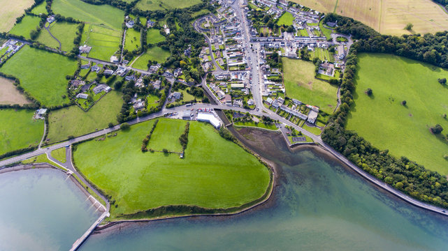 Field system in KilballyowenField system · 358 yd
 BarrowBarrow, ditch barrow · 699 yd
 KnockainyMountain / peak · 971 yd
 Kilballyowen HouseCastle, unclassified · 1348 yd
 Old Parochial Housepresbytery/parochial/curate's house · 1496 yd
 Knockainy Castle (in ruins)Castle, tower house · 1591 yd
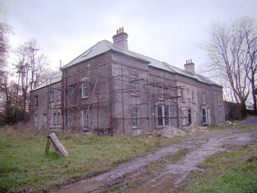 Baggotstown Housecountry house · 1599 yd
 Glen BogForest · 1.2 mi
 Flat cemetery in Knockainy WestFlat cemetery · 1.5 mi
 Kilteely HillMountain / peak · 4.6 mi
 St Patrick's WellSpring · 4.9 mi
 St. Patrick's WellSpring · 5.0 mi